The colors of the desert are subtle but there is plenty of color if you take time to look. Except sometimes it can be black or white. That is what you’ll find on the two ends of the Tularosa Basin in southern New Mexico. On the south end are sands of pure white gypsum covering 275 square miles and creeping northward with the prevailing winds. Towards the north end is a 44 mile tongue of lava field that poured southward down valley. These two disparate features are relative newcomers to a sprawling basin out of which no water flows to the ocean.
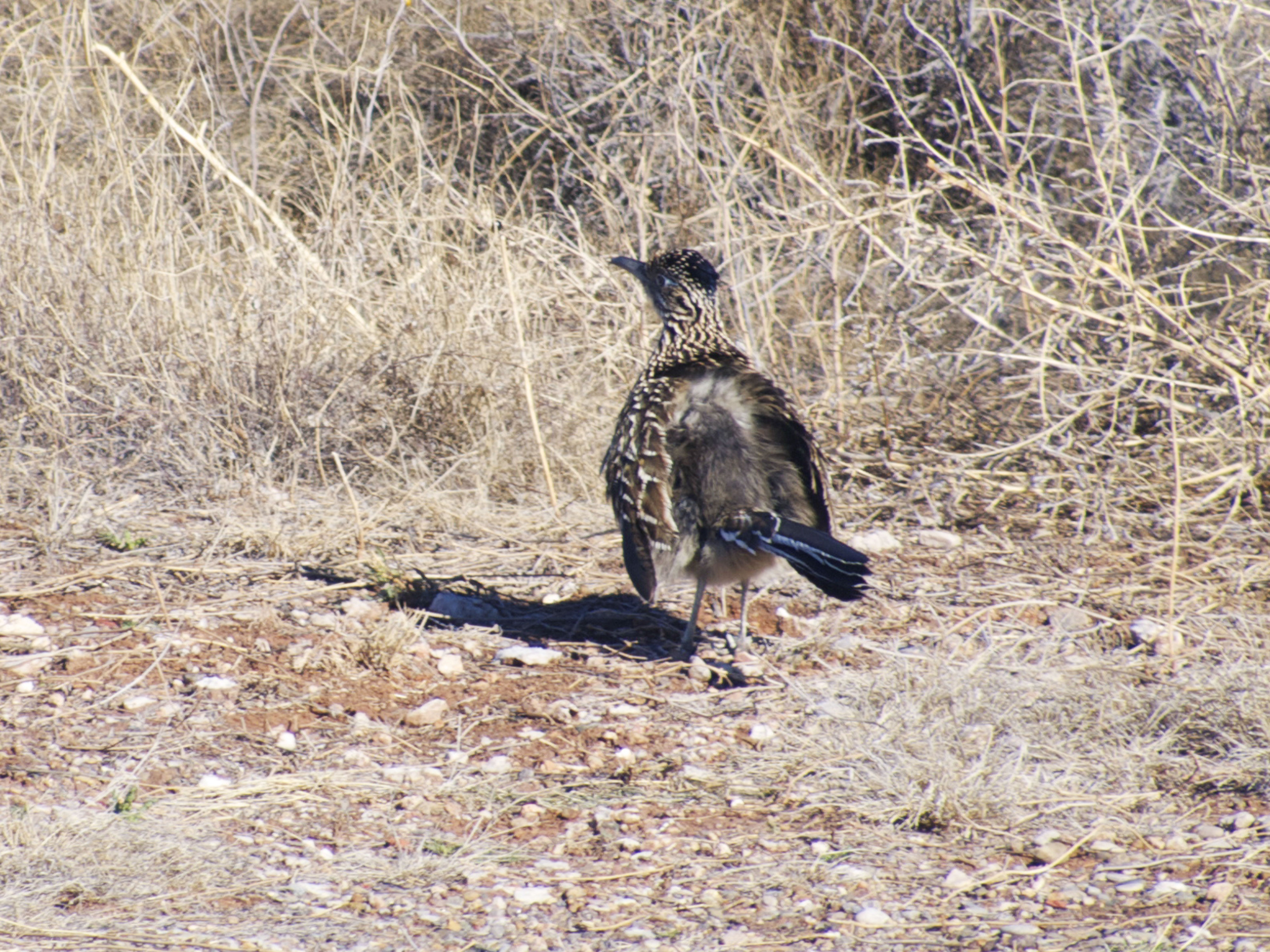
The sand is a product of this fact, the mountains ringing the basin are rich in gypsum from ancient uplifted seabeds and waters draining from them deposit the dissolved mineral in the low southern end. As the shallow lake formed by this runoff evaporates into a playa the deposits form soft crystals easily eroded by the strong winds, the resulting grains piling up into otherworldly bright white dunes. This process has been going on a mere 25,000 years. This is plenty of time however for plants and animals to adapt to a new landscape. Yucca plants try to outgrow the rising dunes by stretching their stems. Grasses have a quick life cycle, spreading their seed before being engulfed. A species of lizard has evolved from its darker cousins to a nearly white color that blends into the sand.
About 5000 years ago vents on the higher north end began extruding the lava that reached southward eventually covering 127 square miles. Cooling into a nearly black basalt it is the newest land to be found in the region. Still there are creatures that have adapted, including a similar lizard that in the ensuing years has become very dark skinned to blend into its contrary landscape.
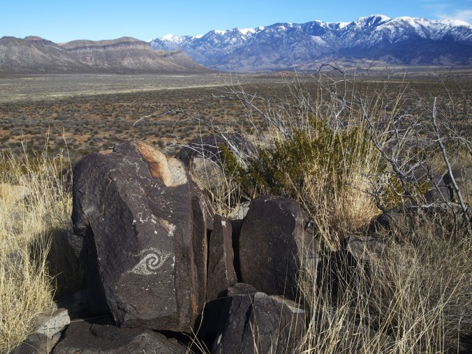
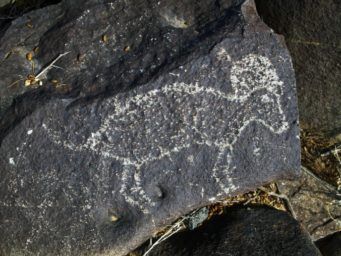
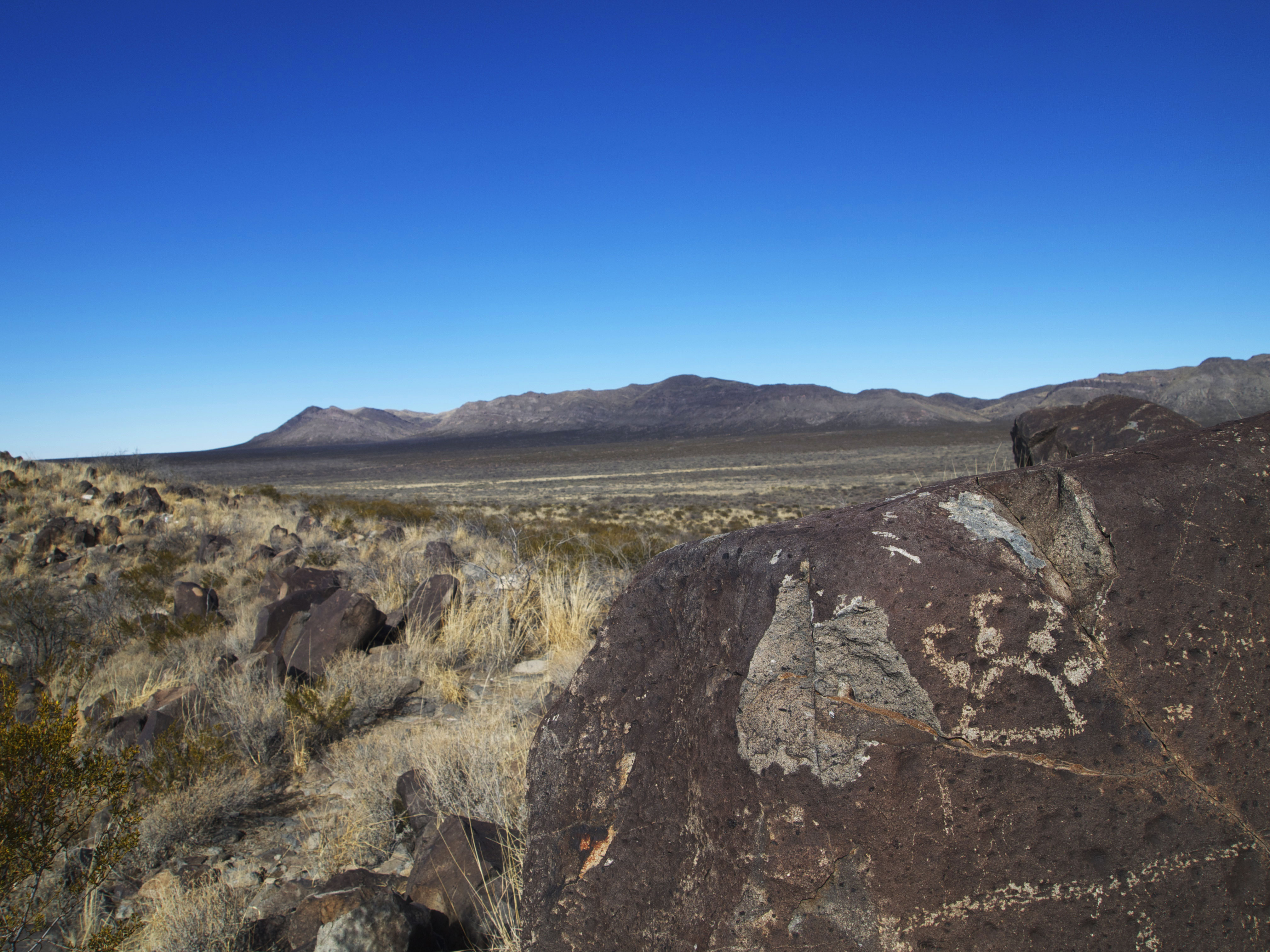
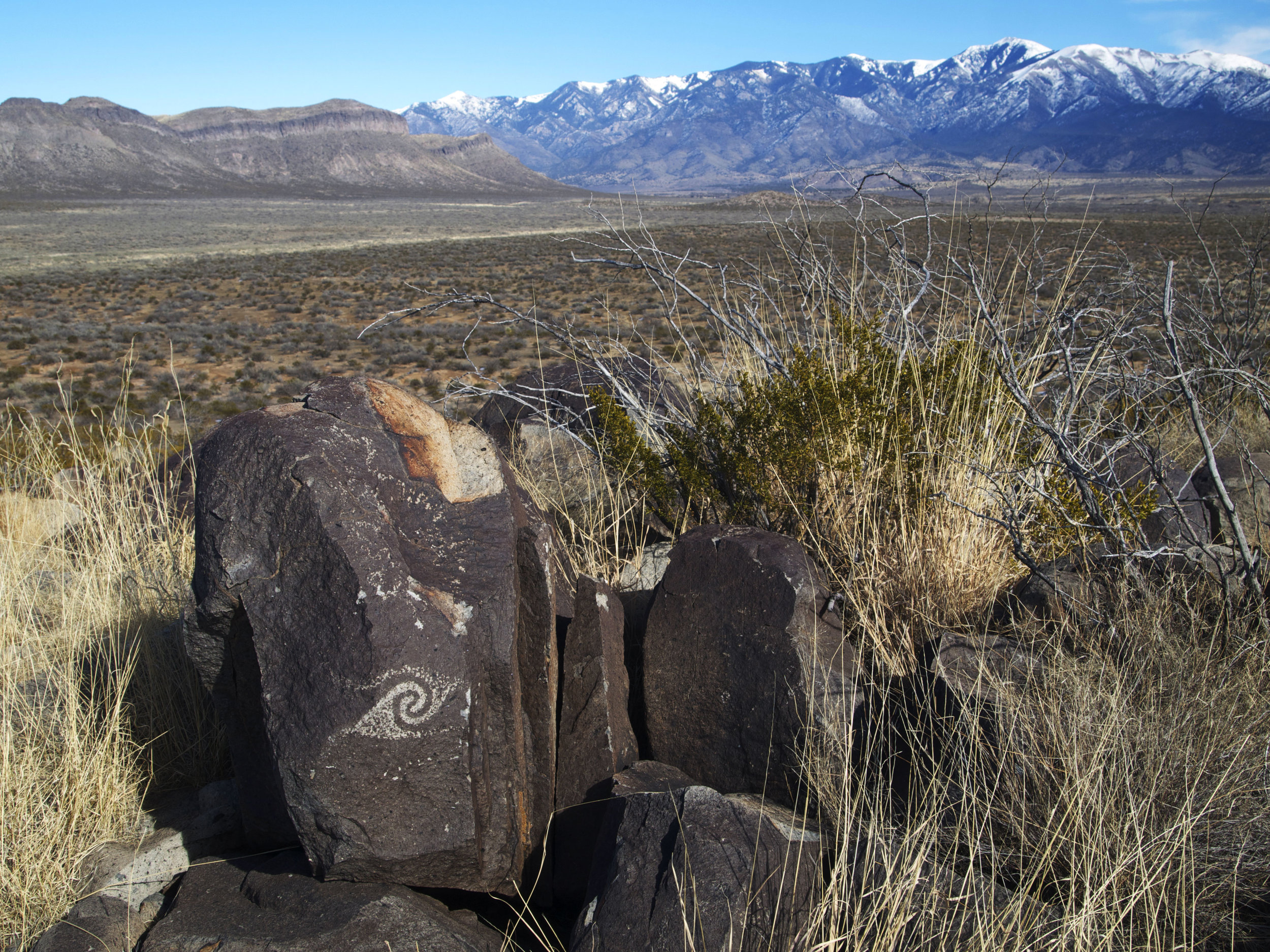
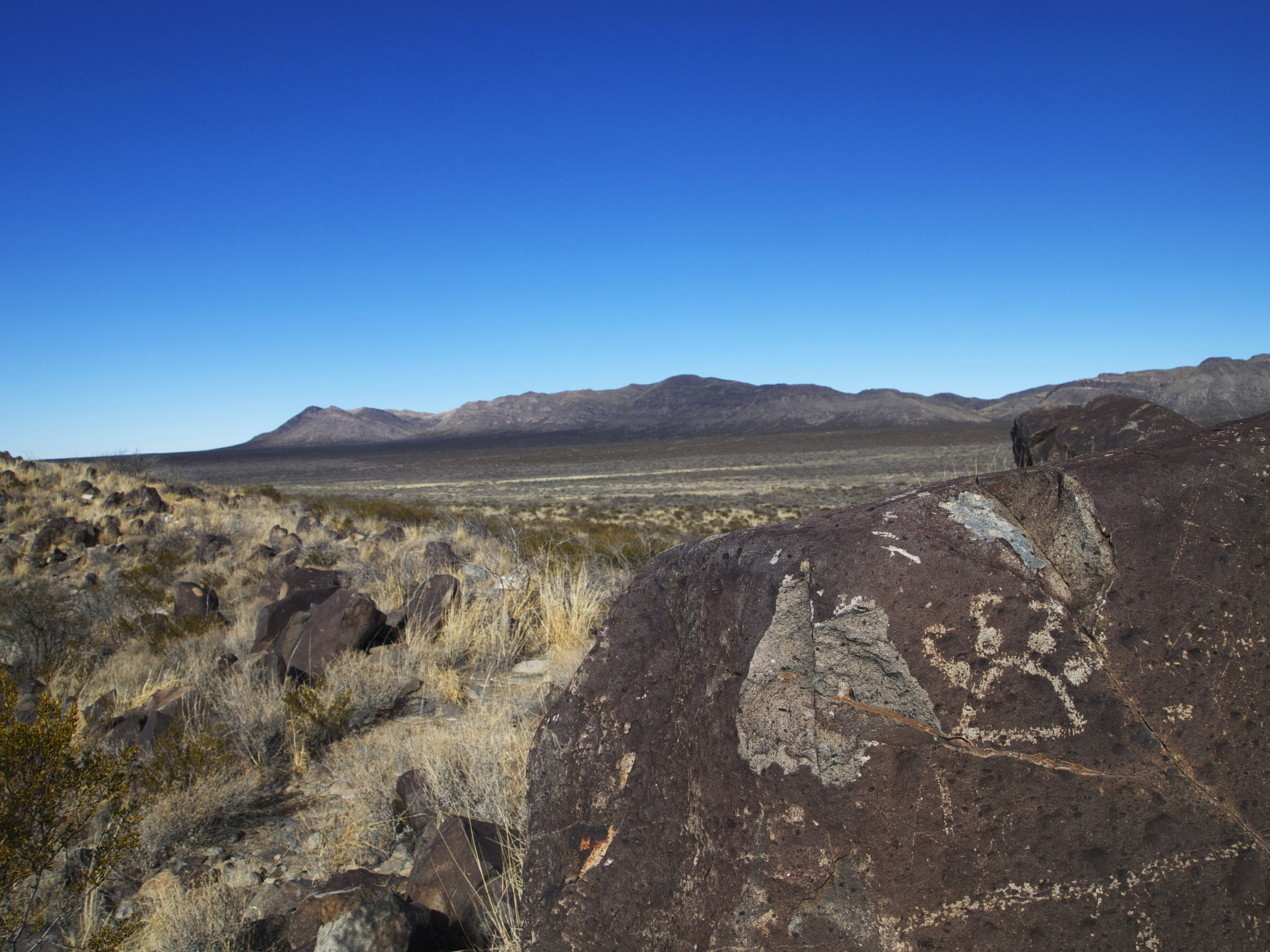
There were surely people on hand to witness the birth of this black landscape, possibly during the early days of the white sands as well. No clues as to what this all might have meant to them remain. Their successors some millennia later left us cryptic messages in a spot nearly halfway between these contrasting landscapes. The Three Rivers Petroglyph site has an incredible amount of rock art, but again we can only speculate about the specific message. And folks speculate wildly from nonsense graffiti to evidence of extraterrestrial contact. What is clear from the hillside full of inscribed images is a commitment to art and a strong relationship to the landscape over generations.
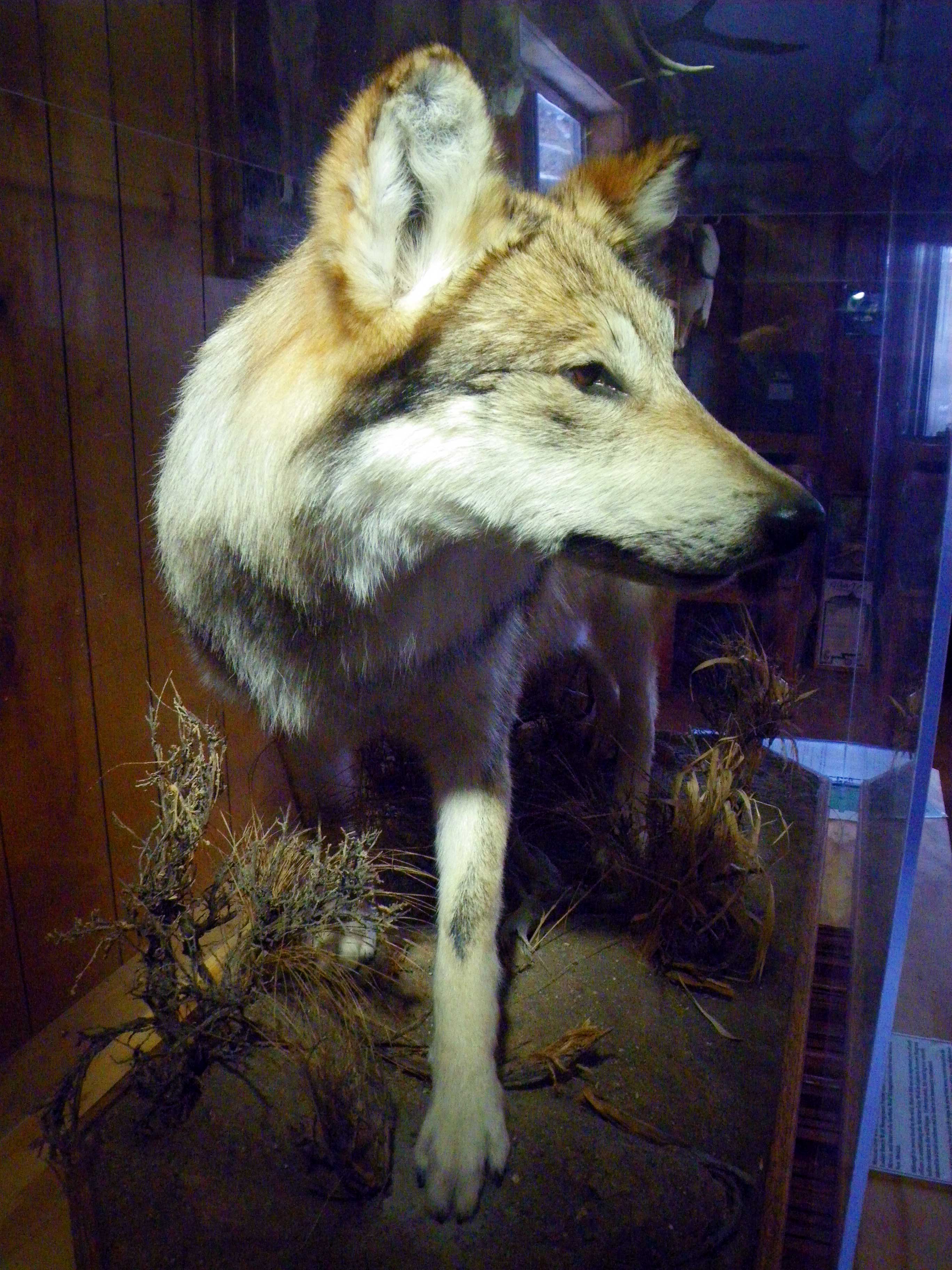
Some time later the Apache made a stronghold here first against the furthest outpost of Spanish empire, then for raids on Mexican pioneers before the land was commandeered by the United States. American ranchers came next denuding the grassland, altering most of the basin into a creosote scrubland.
The most dramatic new edition is an increased radiation level. The first glowing plume of the atomic age was seen here on July 16, 1945 when frantic theory became awesome fact in the first mushroom cloud rising from the Trinity site on the basin’s northwest corner.

The contrasts are compelling. The ephemeral landscape of shifting white and the hardened river of black stone, two opposing features in a gesture of connection, their trajectories striving to meet somewhere in an inhospitable basin. A basin that has seen the pastoral hands of people living softly with the land and witnessed the blinding force of absolute will frighteningly manifested.


