
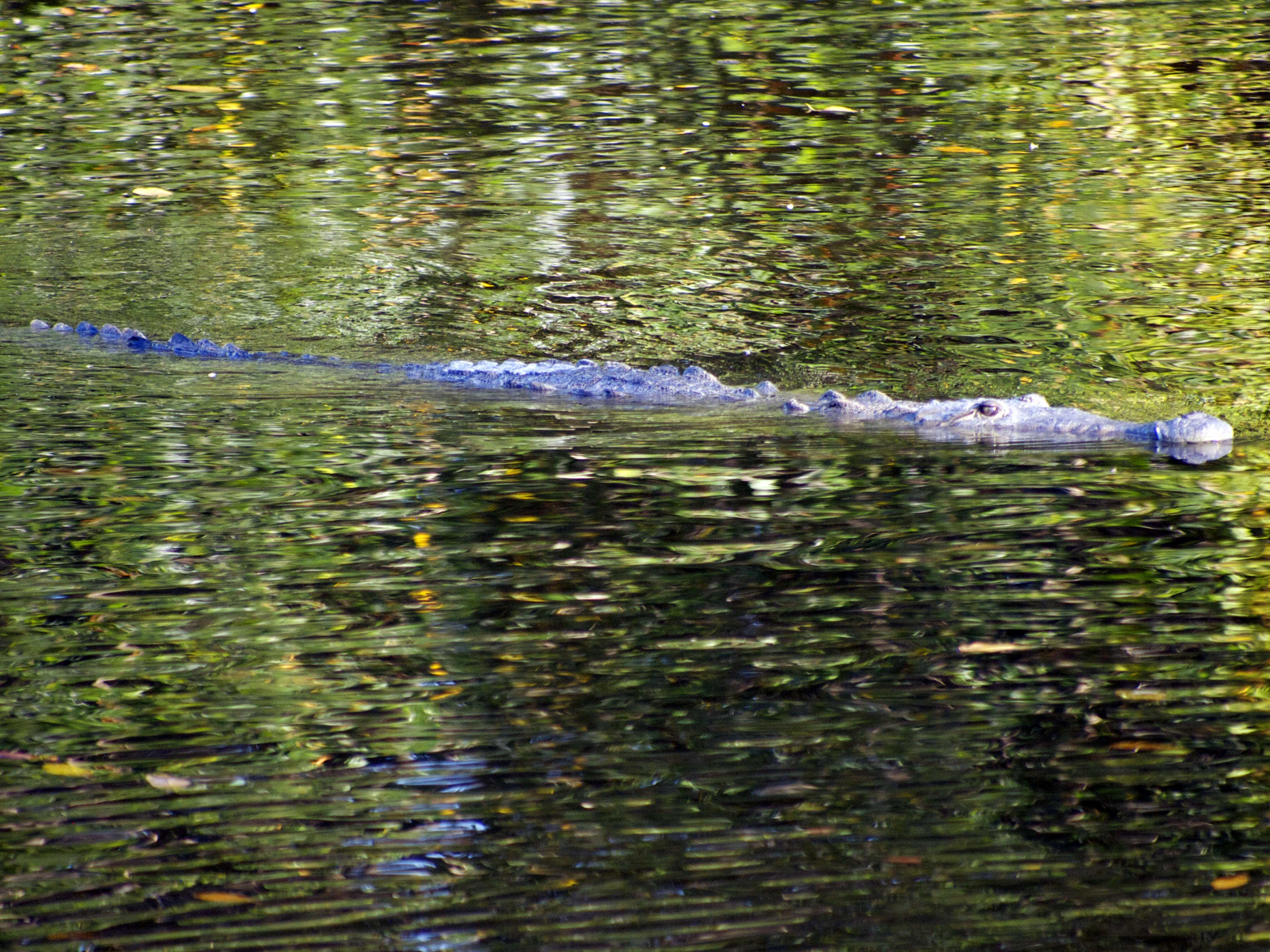
I can’t help myself, I love a good swimming hole. It was a bad joke though, the splashing around and pretending that something was pulling me under. I knew that even before I followed Rachael’s stare to an alligator, its powerful tail propelling it across the pond in my direction, just the eyes and snout protruding from the surface, clearly attracted to my movements. I was about to get out anyway, so I just did it a bit more quickly. I suppose there is a reason I wasn’t seeing people swimming in the backwaters. I could stick to the seawater areas of Everglades National Park but then again we did see a monstrous crocodile while kayaking earlier and they prefer the saltier waters.
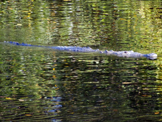
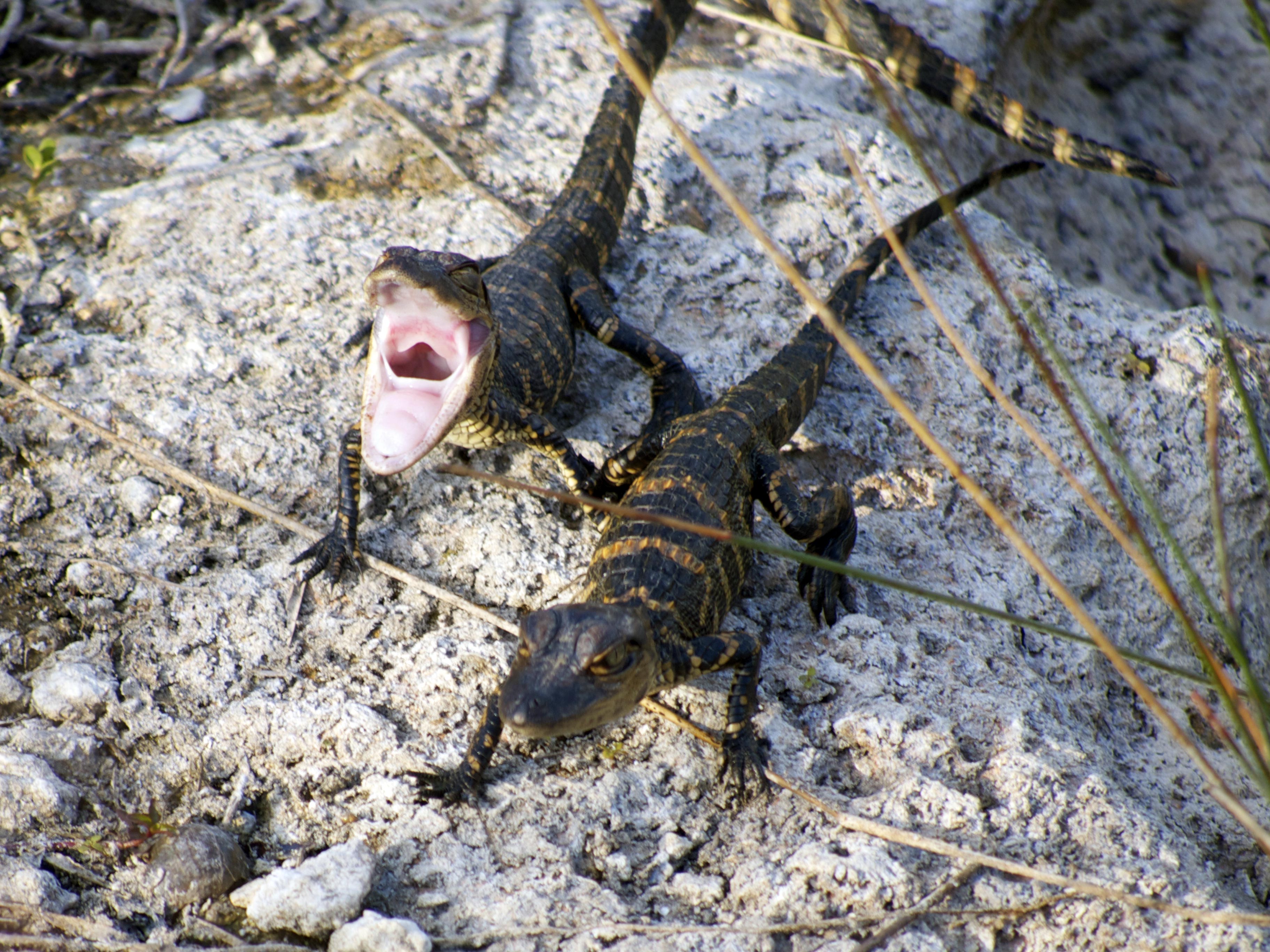
These prehistoric creatures aren’t at all interested in attacking people and there is no need to pretend you’re the late Steve Erwin to get a wildlife experience in the Everglades. The animals are abundant, as are wet places to visit them. The water table is generally somewhere above your ankles in this place. You may think you’re standing on dry land but cut any hole in the ground and it soon becomes a pond. This is exactly what the alligators do in the dry winter months to give themselves some watery space.
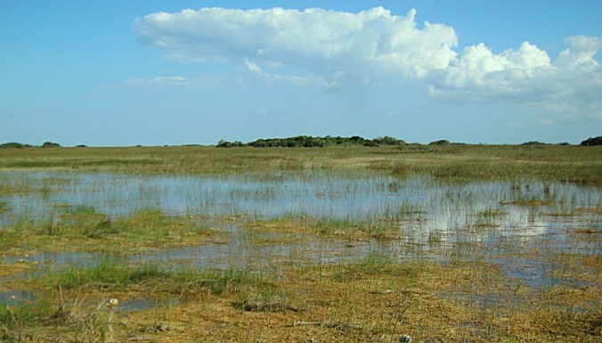
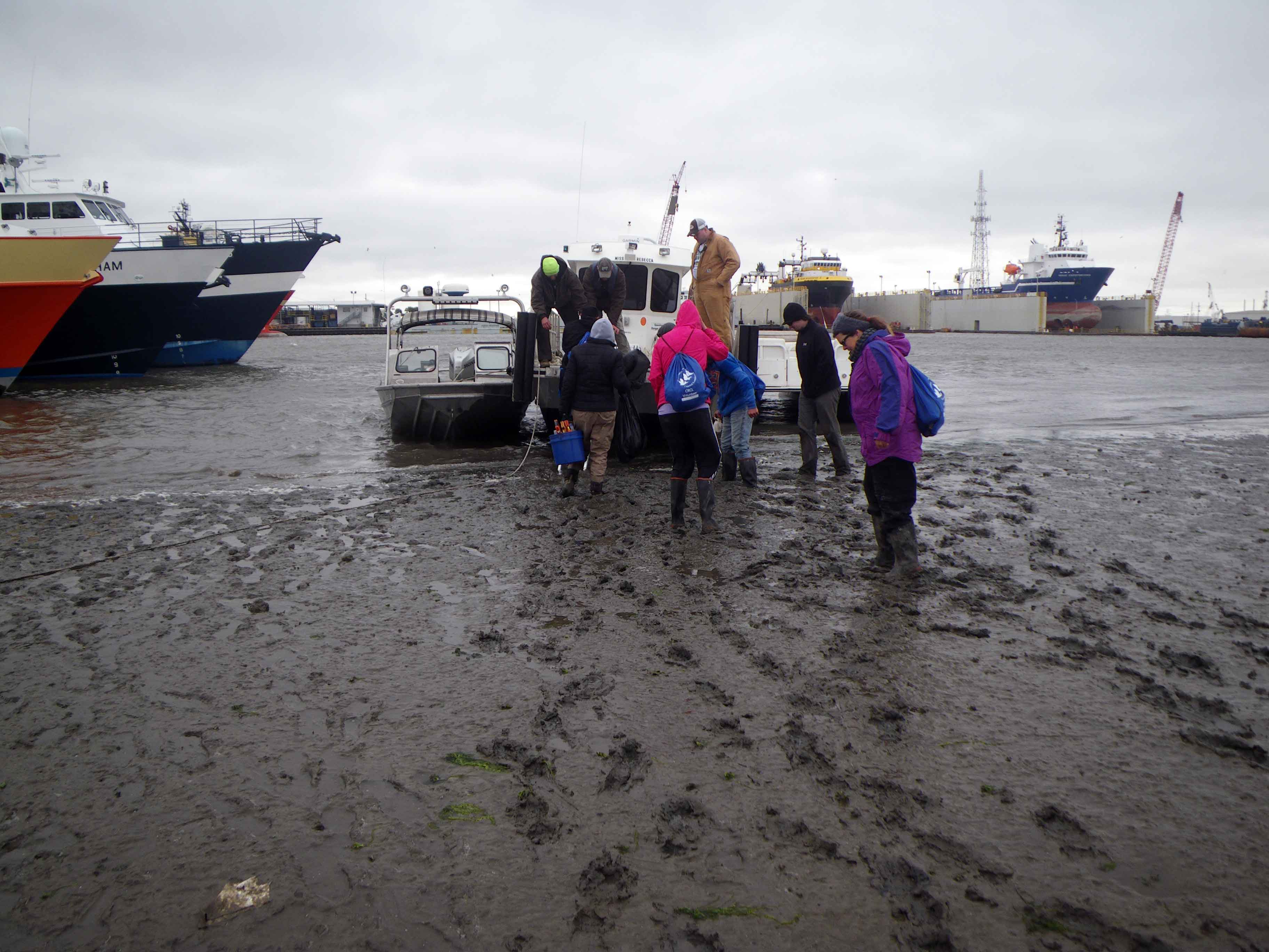
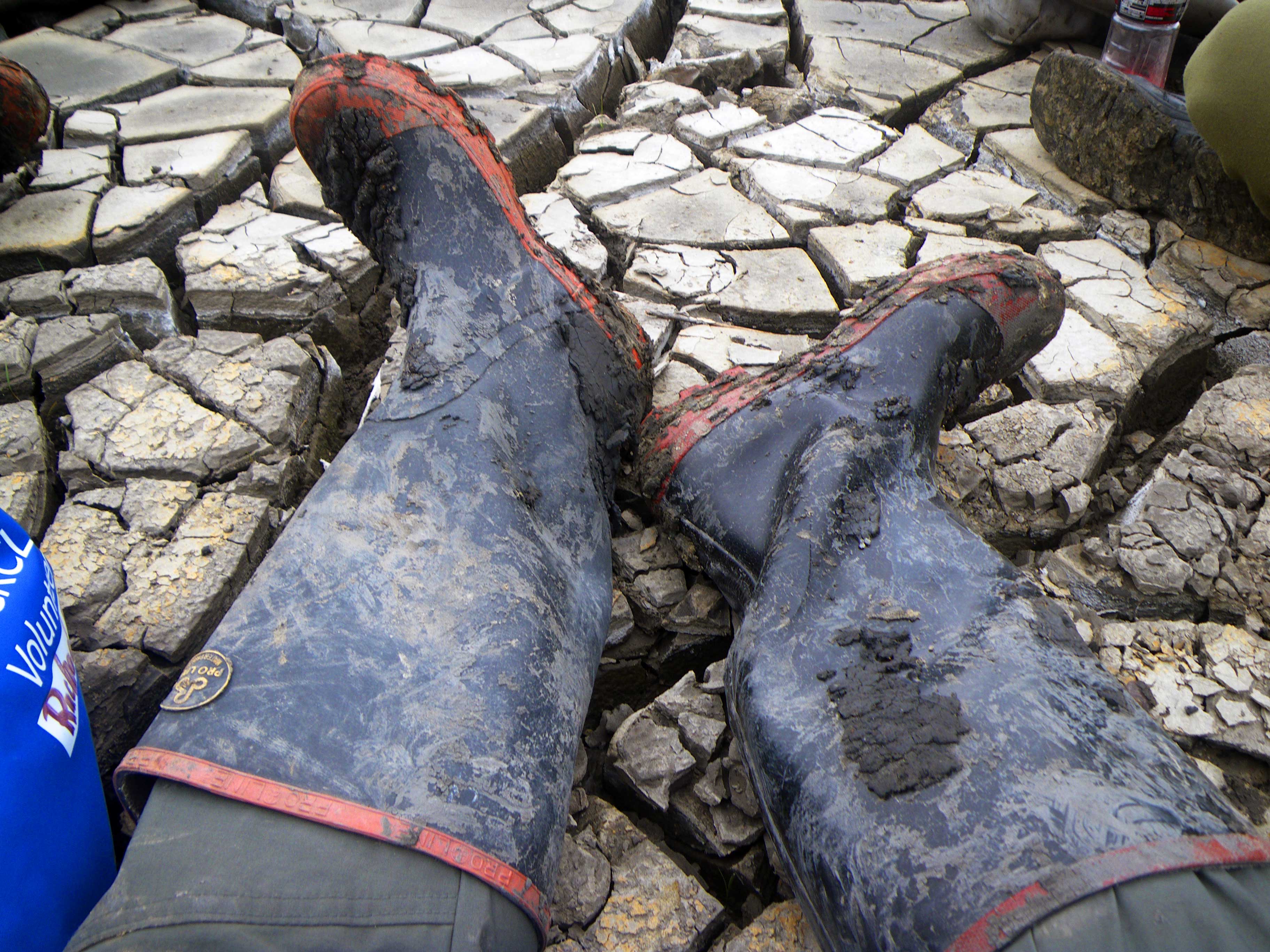
With water and land so intertwined and sometimes hard to differentiate the best way to explore is by boat and the quiet paddling of a kayak or canoe keeps the wildlife from scattering. It’s also more reliable than larger boats with less worry about getting caught on a sandbar at low tide or finding yourself hung up in a mangrove thicket. Occasionally however, especially in these dry winter months, the river of grass is more grass than river and you might find your butt dragging

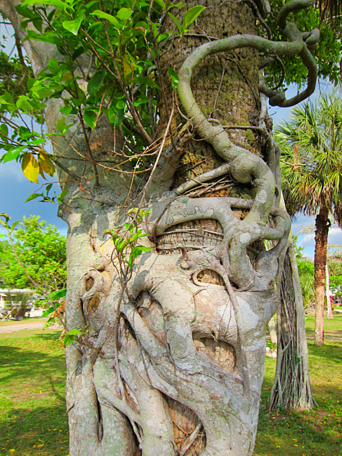
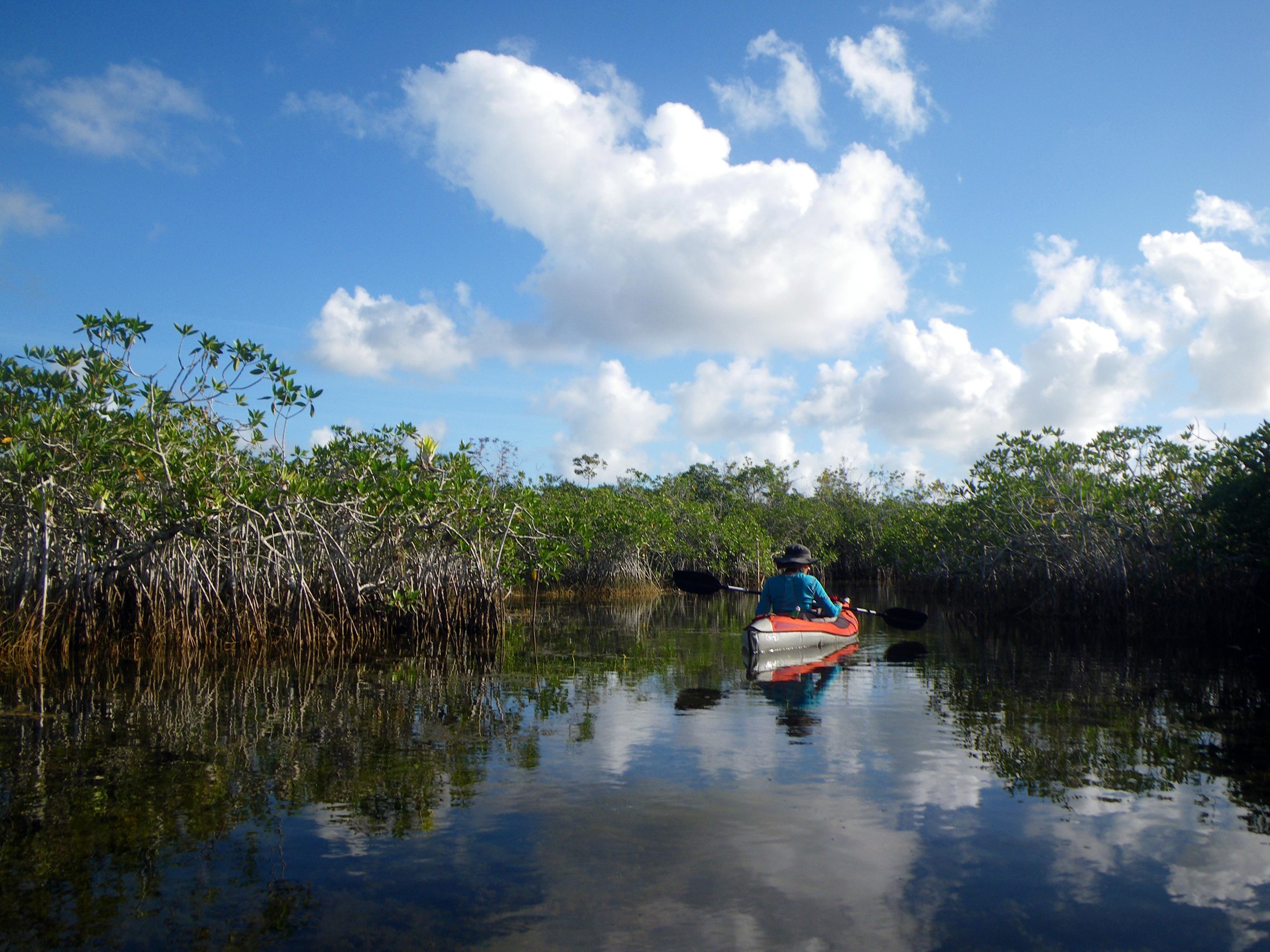
Rachael and I took the opportunity to spend several days paddling here. Inland we found a tightly winding water trail through red mangrove tunnels, tree limbs drooping with bromeliads and scattered with the sounds of mysterious birds. This area is the only place where the American alligator and the American crocodile coexist. Squeezing through a gap in the foliage Rachael inadvertently whacked a hidden alligator with her paddle who then unhappily hissed at me as I hurried by. In the next pond was a locally famous 14-foot croc smiling at us mischievously from the bank. Our route opened onto the freshwater marl prairie. With less than a foot of water and sawgrass at eye level it had the surreal feeling of kayaking across a Kansas wheat field accompanied by dragonflies and a marshy fragrance.
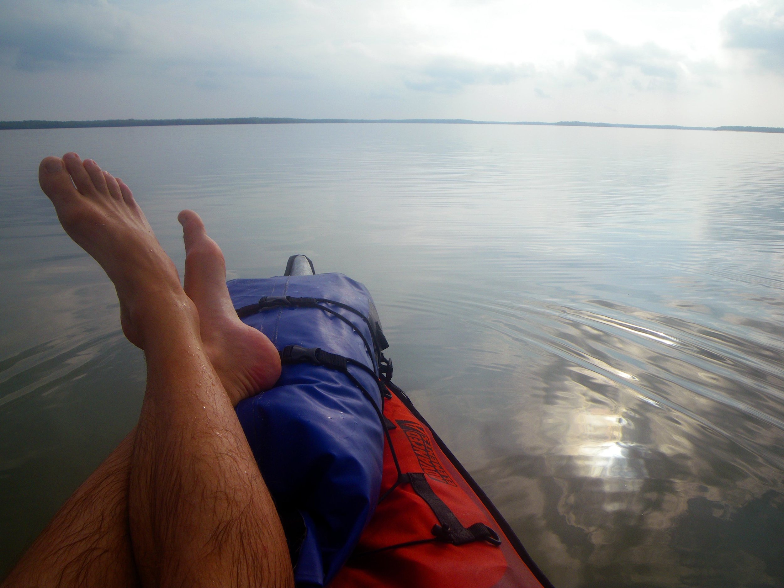
Our bigger adventure was kayaking for a few days into the Ten Thousand Island Wilderness and camping out on a couple keys next to the Gulf of Mexico. I was reminded of the rewards of putting in a little human powered effort toward getting oneself into a wild place. We saw dolphins by the dozen circling and feeding in the channels between islands. At one point, startled by a snort just off the stern of my boat, I turned to see the whiskery snout of a large and gentle manatee bobbing behind me for a few moments. Our eyes scanning the water we learned to distinguish the flotsam from the critters and a few times caught sight of furtive sea turtles, their heads periscoping above the calm waters showing a beaked overbite then discreetly sinking away at the sight of us humans.
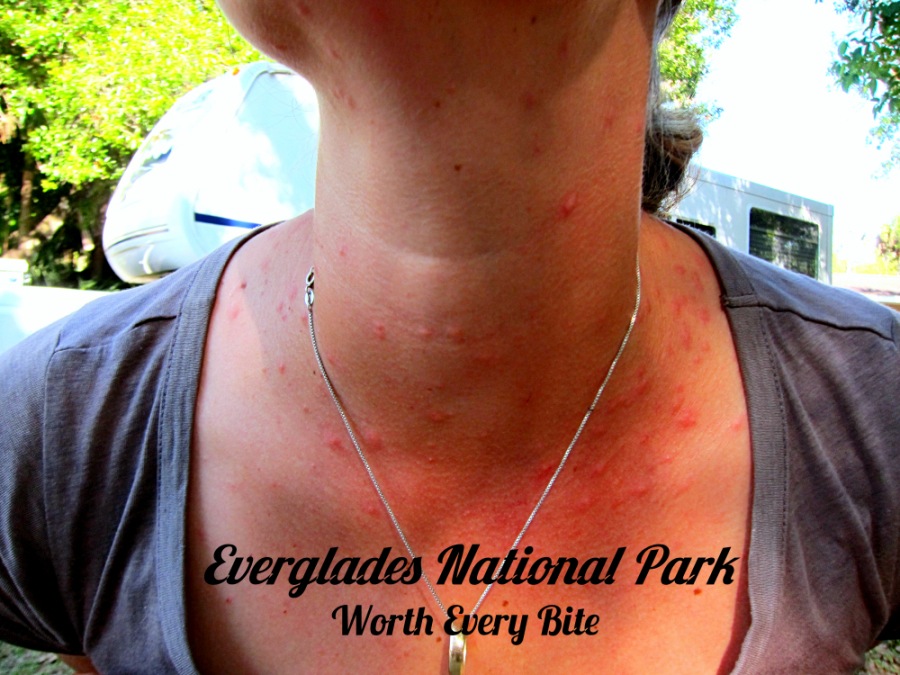
Out in these mangrove islands are other creatures including sharks and stingrays scanning the shallows near our campsites and a small breed of raccoon that has managed to swim it’s way out here and make a go of it in the overlapping roots, oyster shells and scattered sand bars than make up what little ground there is. They’ve also learned that paddlers can be a source of snacks and fresh water which are tough to come by, so we were awakened by them examining our gear in the dark and also caught them munching on the horseshoe crabs that wash up with the tides. Probably the most abundant animal out here is the sandfly or no-see-um. Kept at bay most of the time by the steady sea breeze we awoke one morning to still air and were reminded that we don’t need to taunt alligators to become part of the food chain. Simply stepping outside to the acid sting of a thousand tiny bites puts one’s flesh directly into the ecosystem. Thankfully we had that breeze most of the time and the quick relief of plunging into the Gulf for a soothing saltwater rinse.
Not all the tiny organisms were horrifying pests. Late one night, awoken by our raccoon visitors and attracted from our tent by a rich, star-filled sky, a blue glow at the waterline caught my eye. I’ve seen fireflies and I’ve heard of bioluminescent water creatures but this was unexpected and something easily missed with the intrusion of a flashlight or lantern. Innumerable tiny and barely tangible organisms were glowing in the gentle ripples of the rising tide, lighting briefly with each jostle. Mesmerized I went to take a closer look and as I ran my fingers through the warm waters, a sparkling trail of spots traced out my movements. I gently scooped up handfuls of water tossing them outward into the bay instigating dazzling flashes of blue-green light across the surface. The mysterious chemistry of these creatures was a powerful magic to me.


