
Alaska is literally made from salmon. At least a certain widely distributed portion of it is. Inland, thousands of river miles from the nearest ocean you can find deep sea nutrients, specific isotopes of nitrogen, carbon, sulfur and phosphorous, in the plants and soil. Every summer for millions of years, fish have returned from the Pacific to the streams from which they were born, powerfully compelled by some internal mechanism, following imperceptible chemical clues that bring them back to the exact stream where their mothers deposited eggs a few seasons before. Bodies transformed in color and shape by new hormones they no longer eat and are fixated on this ultimate act that culminates in death. The lucky ones that survive the gauntlet along the way successfully leave behind many millions of offspring. All are consumed by bears, birds, humans and a whole array of other scavengers. Carcasses decompose streamside nourishing their own spawning beds. Others are dragged abroad into forests, meadows and tundra bringing exotic nutrients to wider ecosystems. The drama plays out on innumerable rivers, streams, creeks and lakes along the 45,000 mile Alaskan coastline from the Inside Passage around to the high arctic. The five species, Chinook, Coho, Sockeye, Chum and Pinks have staggered timing throughout the season between thaw and freeze.
Alaska is metaphorically made from salmon. Many resources have been harvested from this wild land but it probably safe to say that over time none can match the value of these fish. Overfishing by industrialists from outside the region helped inspire the push for statehood and written into the state constitution is language that mandates the sustainable management of the fishery. Other fisheries around the world have collapsed, including formerly rich salmon runs in the Atlantic, Japan and California. Learning from these lessons the Alaskan fishery has been carefully managed and appears to be achieving sustainability. It is a huge part of the daily tapestry of life in Alaska. We’ve encountered conversations about whose turn it was on a local fish wheel. We’ve come across the weekly river sonar readings that determine daily catch limits. Dip nets and fishing tackle decorate cabins and country stores. After tuning in the on-air classifieds (“My black lab, Tug is still on the loose if anyone spots him let me know. Oh yeah I still have those burn barrels for sale too.”), we listen to a detailed fishery report on the local radio station. There are jobs on fishing boats and in canneries and a rich supply of healthy food on thousands of diner tables. The boisterous weekend-warrior fishermen who woke us at 3am at our creekside campsite are spending money in the local community. With restraint the resource is essentially infinite; we could expect these species to outlive ours.

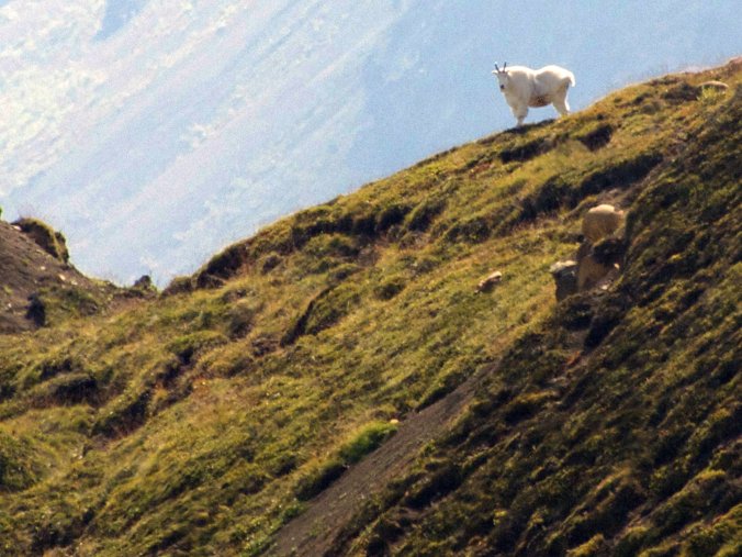
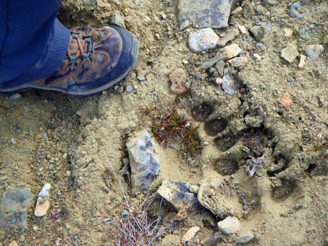
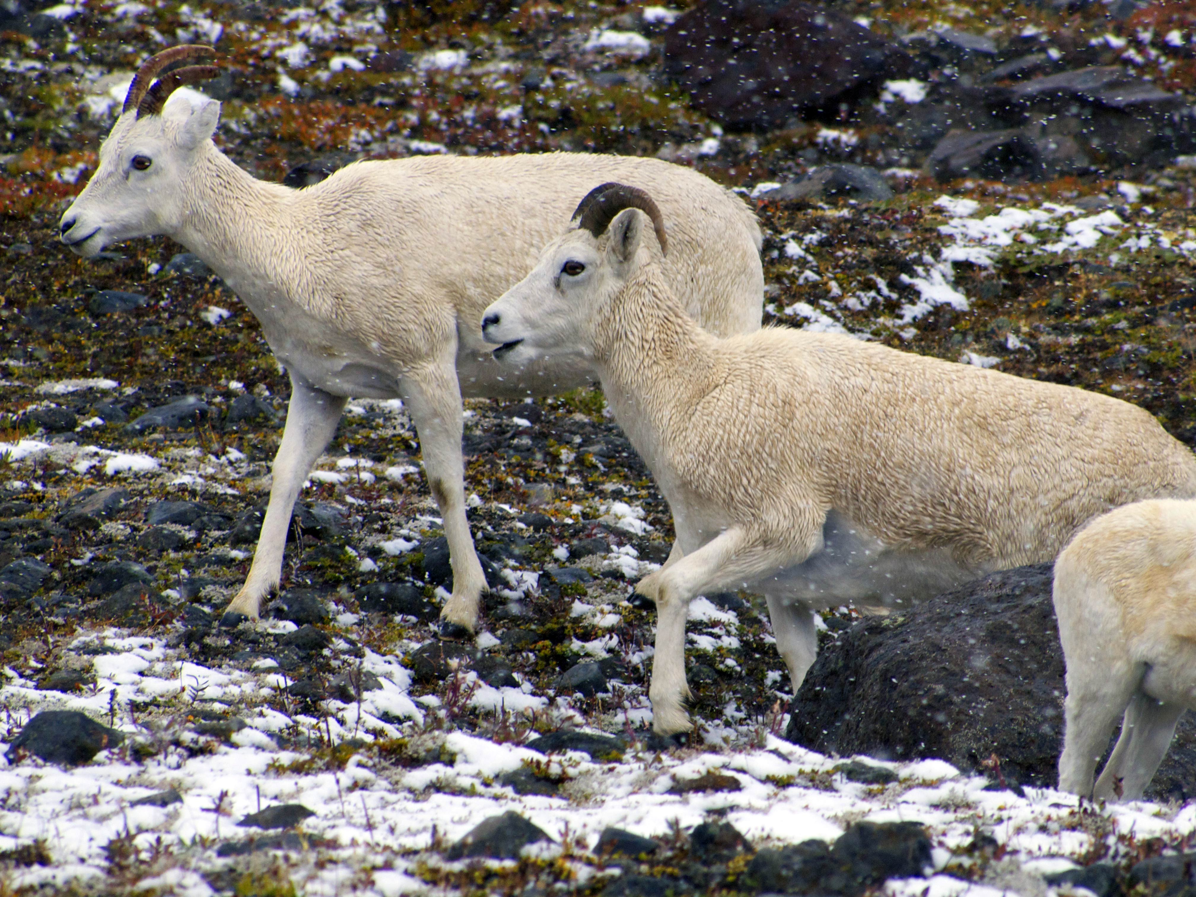
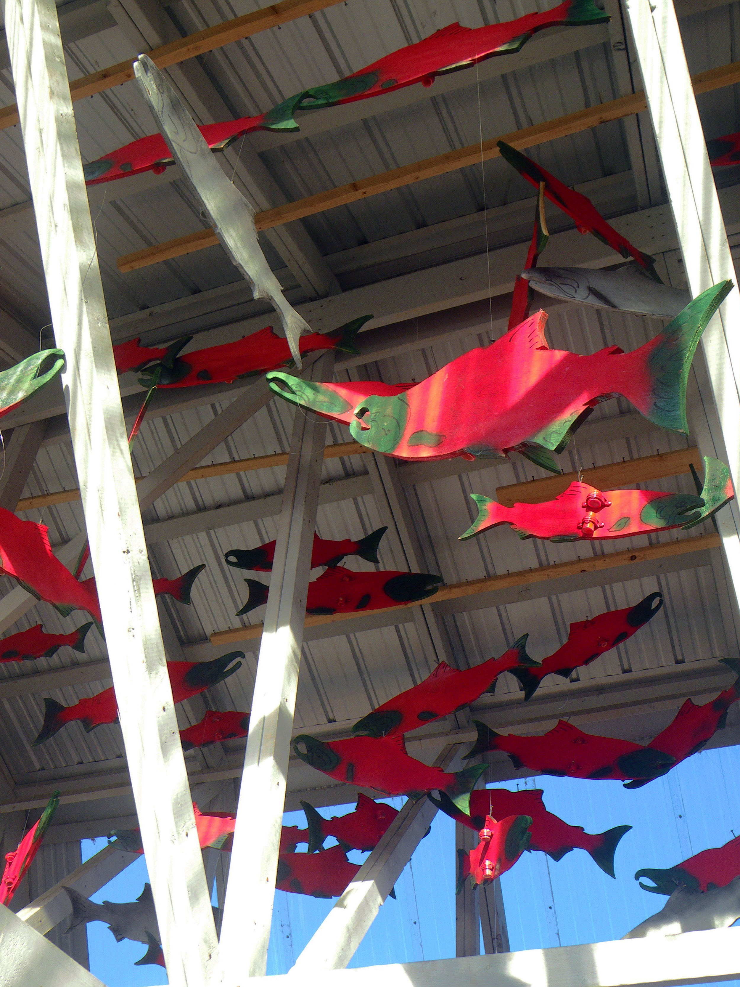
Alaska is spiritually made from salmon. The esteem for these animals is ancient. Tlingit totem poles honor them. Native songs are sung to them. They are thanked for giving themselves so abundantly. Modern folks have fetishized them with t-shirts, murals, sculptures, the earrings on a woman at the county fair. The first massive Chinook of the season is ceremonially flown into Seattle. When a creature is so abundant that the biggest version of Brown bear can cohabitate in large numbers peacefully sharing them, that is weighty mojo. Kodiak Brown bears know the power of salmon. By gorging on fish all summer they have become the largest carnivore on any continent. Their flesh also sustains us. Our spirits are thrilled when we see them leaping a four-foot beaver dam or an eight-foot waterfall. Rachael and I stood on the bank of the Chulitna River watching them, one after another darting up a rocky channel half out of the water, tails furiously thrashing, an embodiment of collective ambition. By feeding our bodies and our minds they also feed our souls.

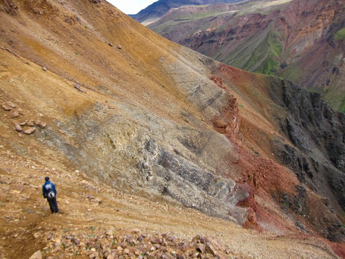
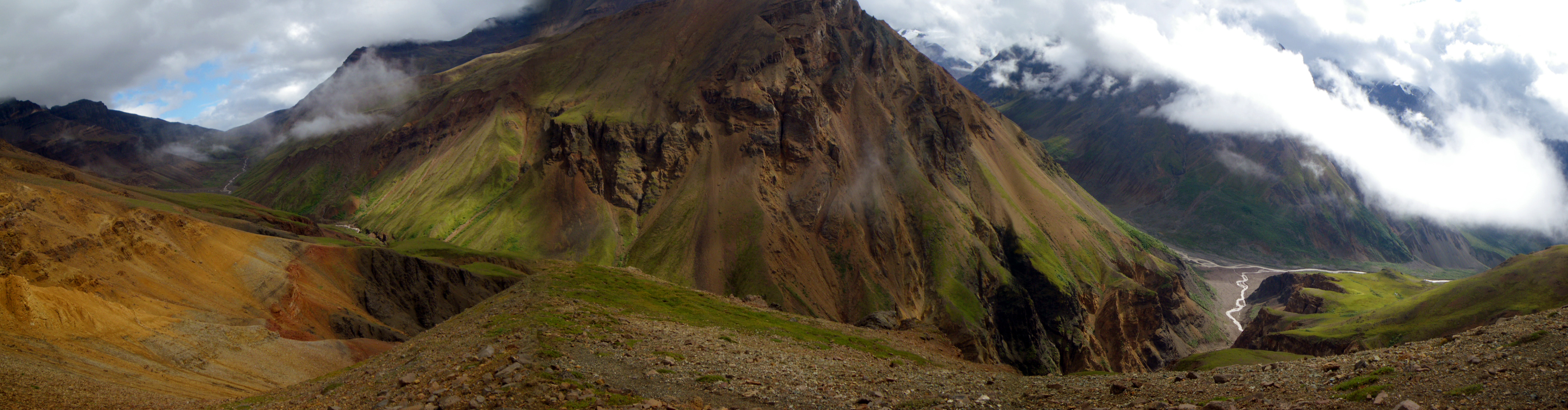
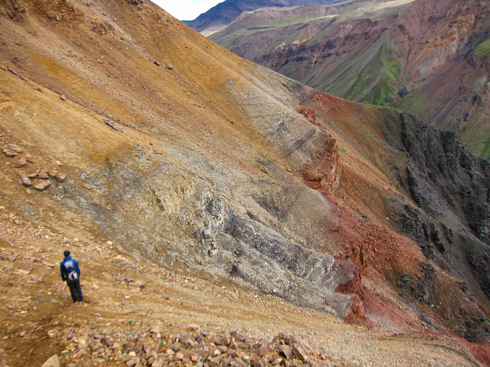
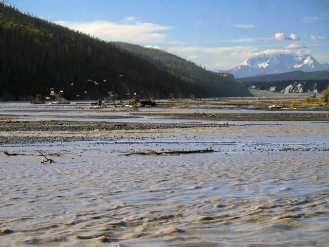
We are vulnerable if we don’t recognize this. This hard won balance of modern commerce with age-old subsistence and healthy ecosystems can only be sustained with vigilance. There seems to be a never-ending desire to trade this elegant system for short term gain. Every season there is pressure to allow for a larger catch. Clear-cutting in the Tongass National Forest has damaged spawning streams. A large scale gold mine is proposed in one of the richest areas of the Bristol Bay drainage. Dam projects, the clearest devastator of salmon are continually proposed. Oil is always the elephant in the room in Alaska. I write this aboard a ferry crossing Prince William Sound, Lil’ Squatch strapped down below decks while abundant sea life, including salmon swims beneath. We see the spouting of large sea mammals. Tall, intermittent clouds of mist are the exhalations of Humpback whales. Quick clusters just above water level mark the furtive risings of porpoises. The Exxon Valdez oil spill is still on the minds of locals here because its residue can still be found on the rocks. We can thank the raw fecundity of this place for the fact that it has rebounded. No place should be repeatedly asked to face such threats.
In the wild salmon of these northern waters there is no better example of the total interconnectedness of the natural world and how we are a part of it. It’s hard to imagine a better example of humans recognizing this and finding a solution. It’s hard not to want to apply this model further and it’s hard no to be worried that our collective memory is too short.


