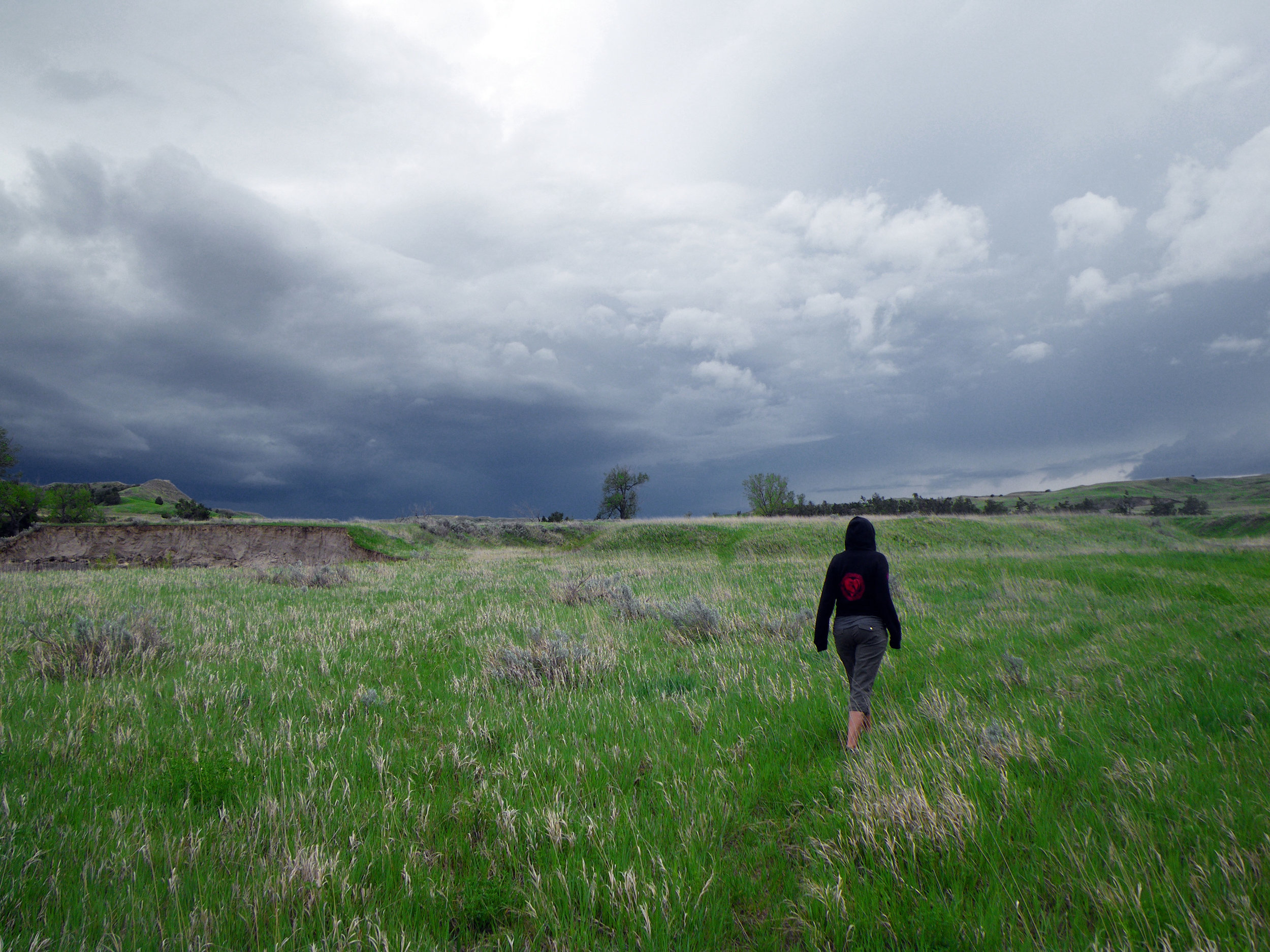
I hadn’t walked 100 yards before I considered that maybe we should have brought two cans of bear spray. I had left our ursine strength pepper spray with Rachael at the ridgeline and hurried off alone to the top of Red Mountain.

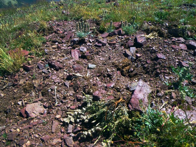
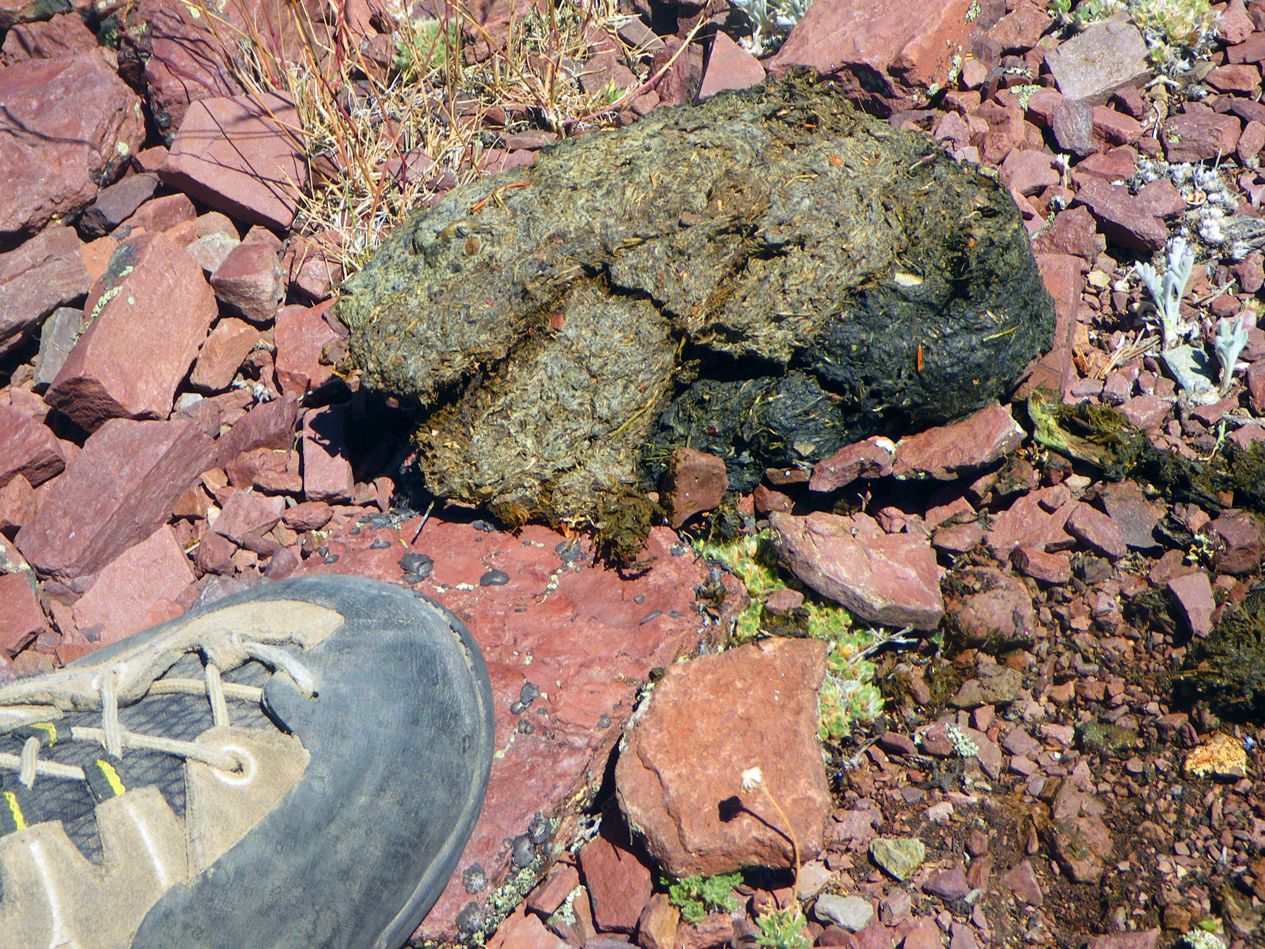
When my boot kicked a cow-patty sized lump of partially dried Grizzly dung I took in my surroundings and noticed that something had been busy tearing into the stony ground to get at the roots of the low lying tundra plants on this high slope.
I could see most of this wide-open country above tree line but I thought maybe I should be shouting “Hey bear!” more loudly and frequently just in case there was anything tucked into the folds of the mountain. With a stiff wind it would be unlikely that I would be heard or smelled and surprising a nearsighted animal with 4-inch claws that can weigh 500lbs or more is bad idea.
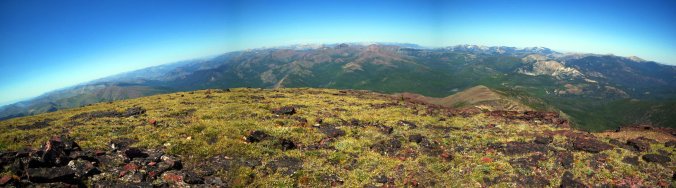
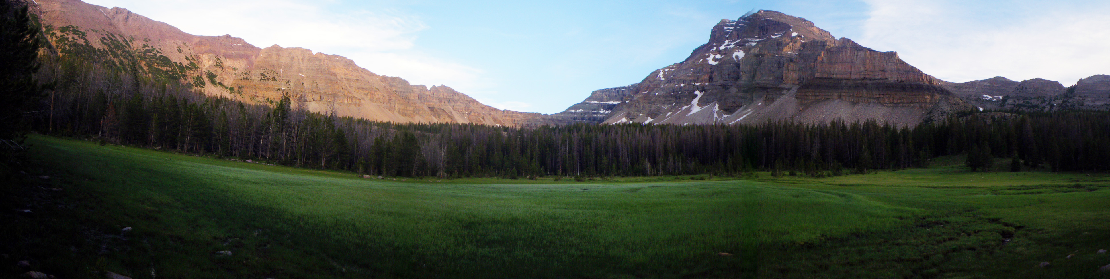
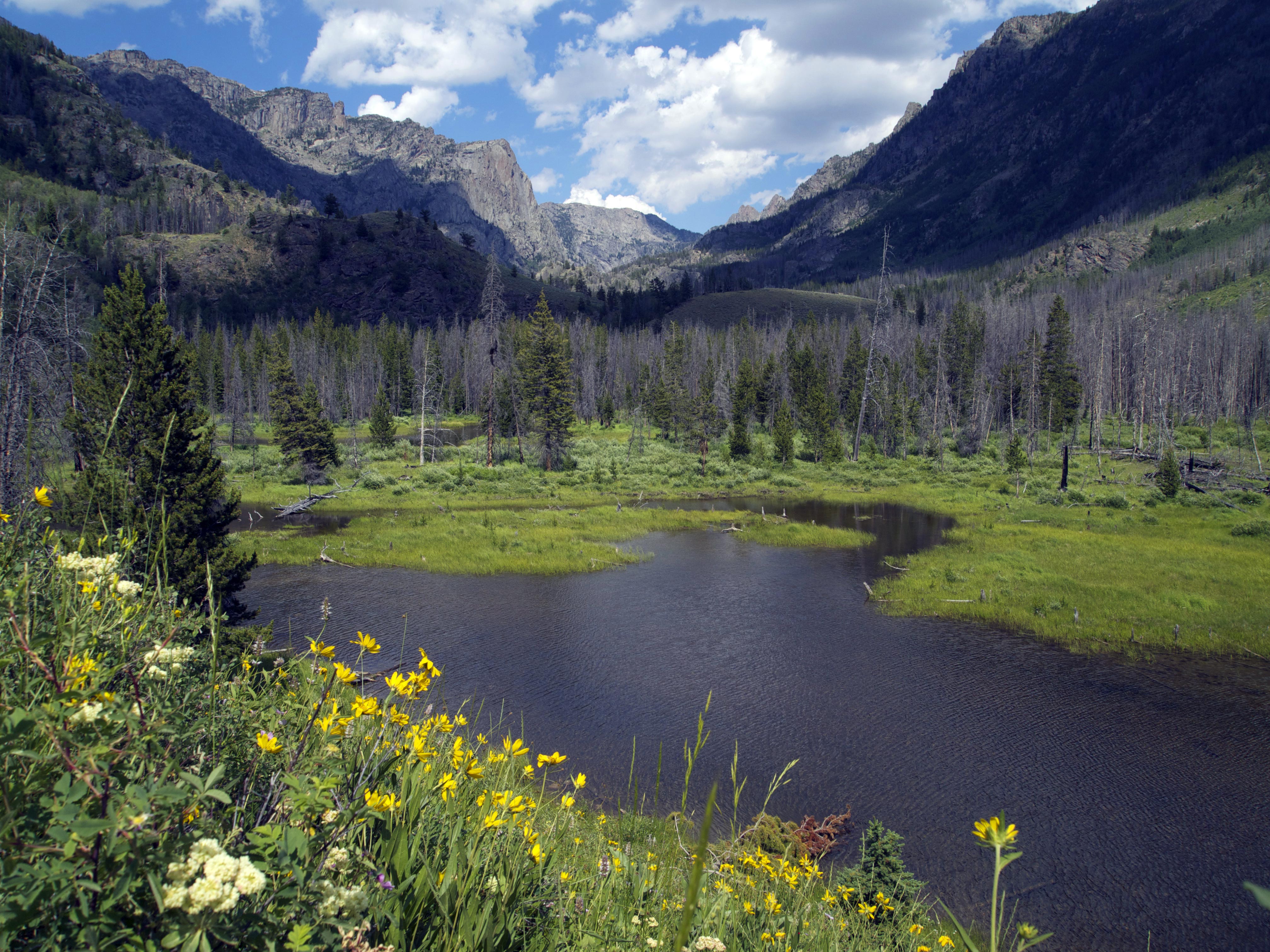
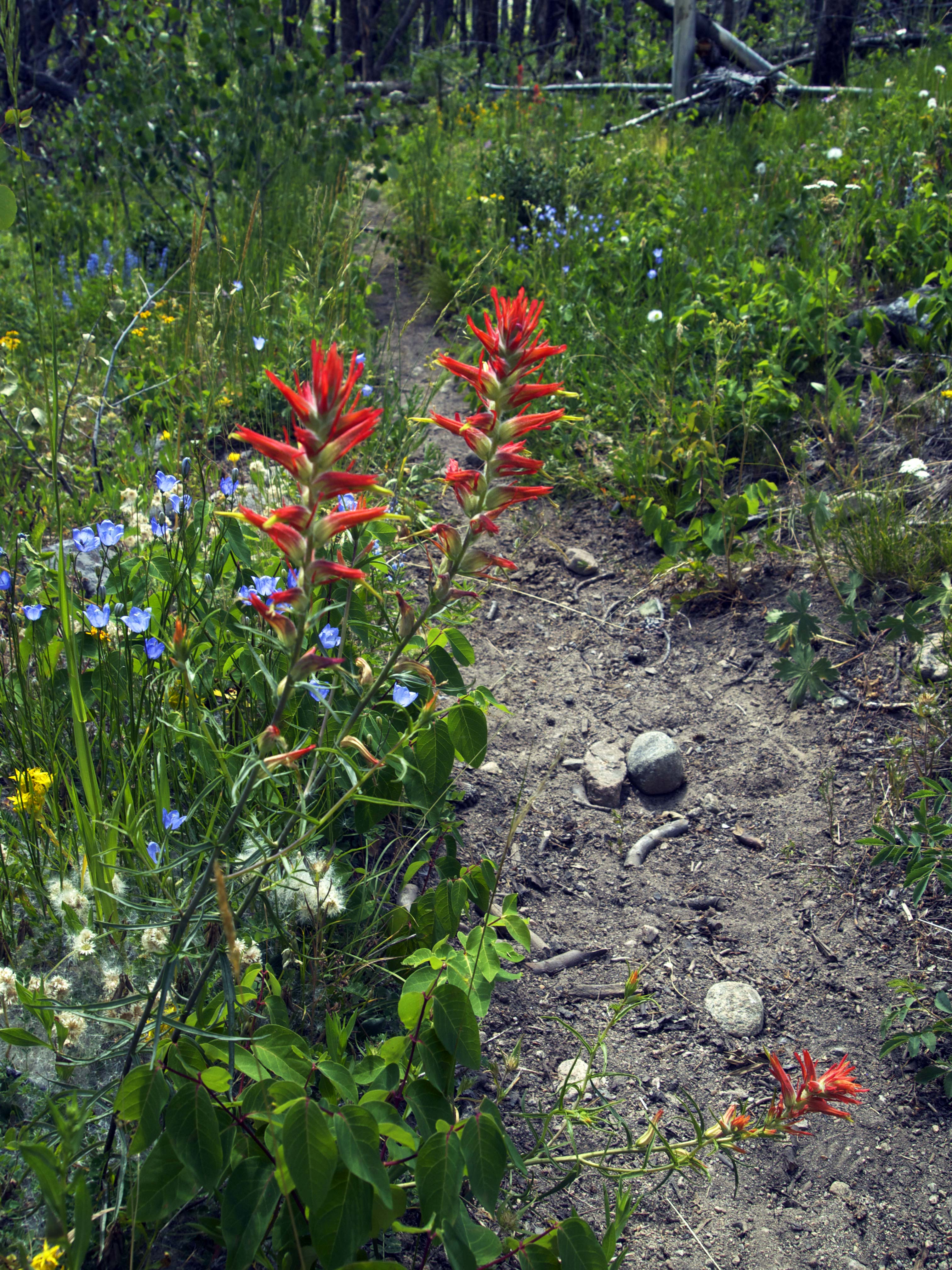
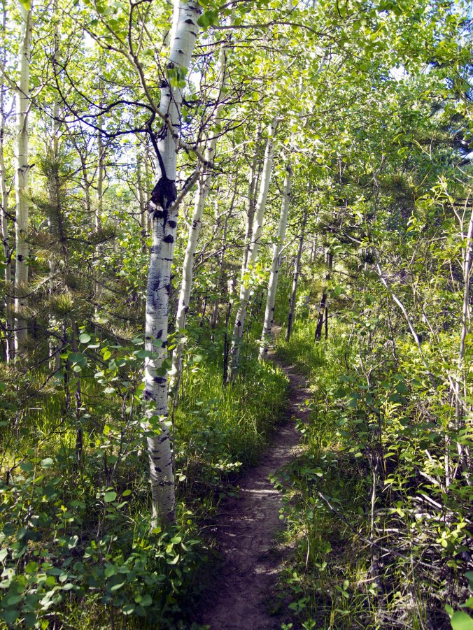
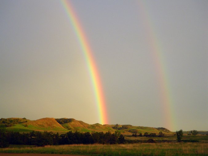
From the summit of Red Mountain, the highest point in the Scapegoat Wilderness, you can look north into one of the biggest chunks of wildland in America. The Bob Marshal Wilderness Complex, or “The Bob” includes the Scapegoat and abuts Glacier National Park, protected land stretching 150 miles to the Canadian border, with plenty of wildland on the other side as well. This is the kind of space that Grizzlies need. A male might wander over a 1000 square mile range and can be choosy about who he shares it with. The land before me is a complicated topography of dispersed jagged peaks and rounded domes with no clear central spine all rising up in a massif with innumerable valleys and grottos. I could only imagine the rich variety of wild things in there. Some I didn’t have to imagine, Elk and White-tailed deer had shown themselves on the hike in and at lakeside near our camp. A Bald Eagle was stationed in the snag above us as we picked a spot for our tent. He gave me a stern and regal look over his shoulder before flying off, clearly annoyed that we had to put our tent right there. But what else might be out deeper in this wilderness? Grizzly of course and plenty of his cousin the Black Bear. This land must be rich territory for Grey Wolves if we have the humility to share it. I love the thought of our most elusive wild creature, the Wolverine, lurking somewhere no more than a days walk away. A human days walk that is. Wolverines are obsessive and fast-paced wanderers that can cover 40 plus miles over peaks and cliffs while I’m slugging away on a well-maintained trail for 12 miles.
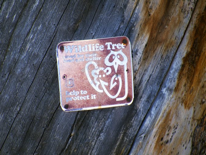
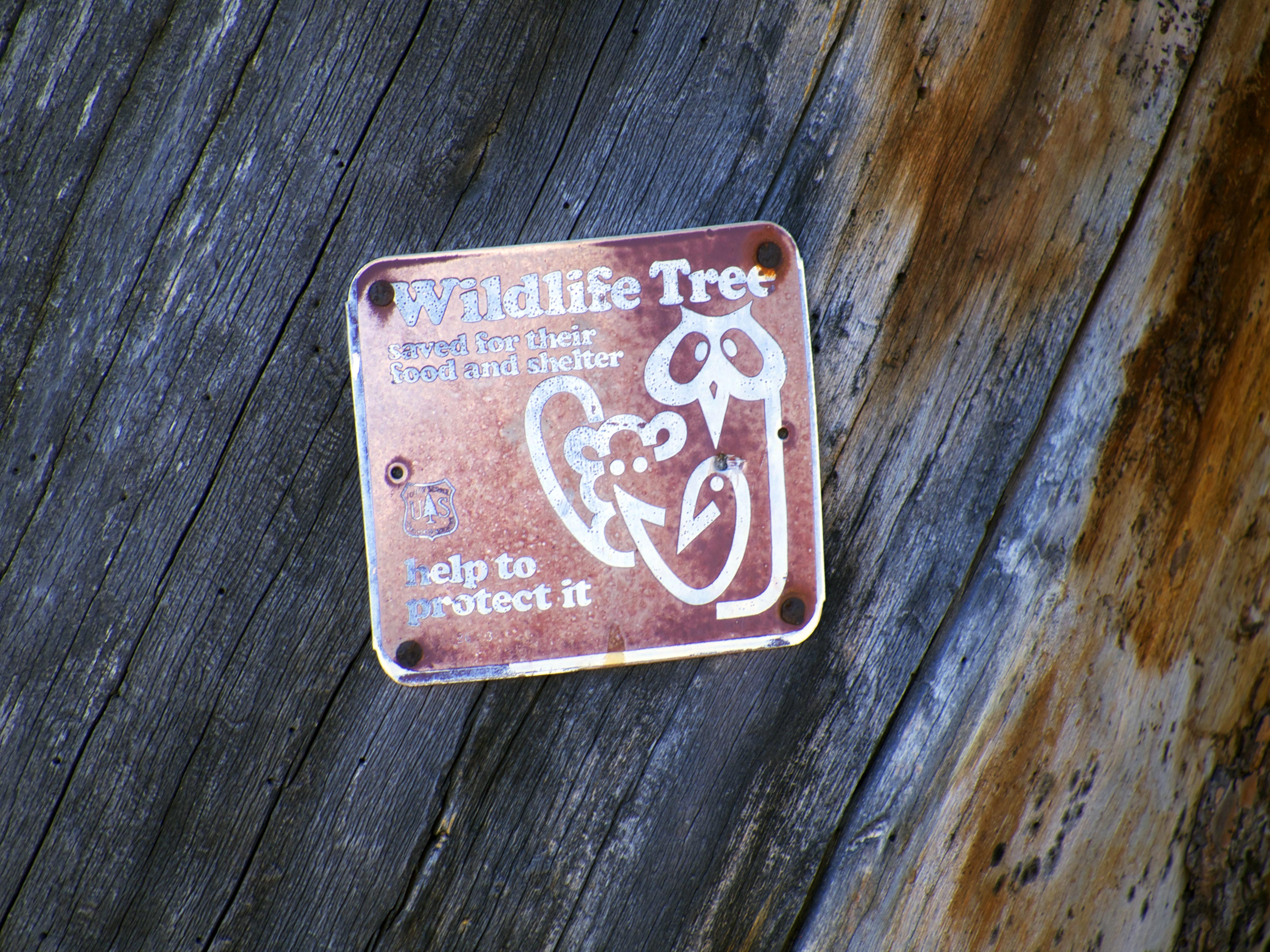
These creatures need elbow room. And we’ve had the wisdom to set some aside. We get into debates about owls or fish or snails but it’s never about some single species that may be on the brink. Each of these animals represents an array life that shapes the web of an intact ecosystem. Having the courage to protect a rare butterfly means that we are also protecting the life it shares space with. When we can save enough space for wide-ranging and charismatic animals it almost always means that a whole host of species gets roped in for protection. Outside of Alaska this region is one of the best we’ve got when we are ready to think big, and some of us are ready. America stakes its identity on bold ideas, democracy, civil liberties, the National Park System. Bold ideas have been shaping over the past 30 years or more of preserving the wilderness we have left and finding ways of co-existing in the places that have been or will be developed. Habitat loss and fragmentation is the most common cause of species decline and extinction. It seems that we are going to have to re-learn how to share, if only for the fact that if you take out too many of our ecological puzzle pieces the whole thing that make this place habitable may crumble away. Large scale wildlife corridors, rewilding the landscape and cross continent proposals like the Yellowstone to Yukon Conservation Initiative (Y2Y) and The Algonquin to Adirondacks (A2A) Collaborative are a just a few of the things on the table.

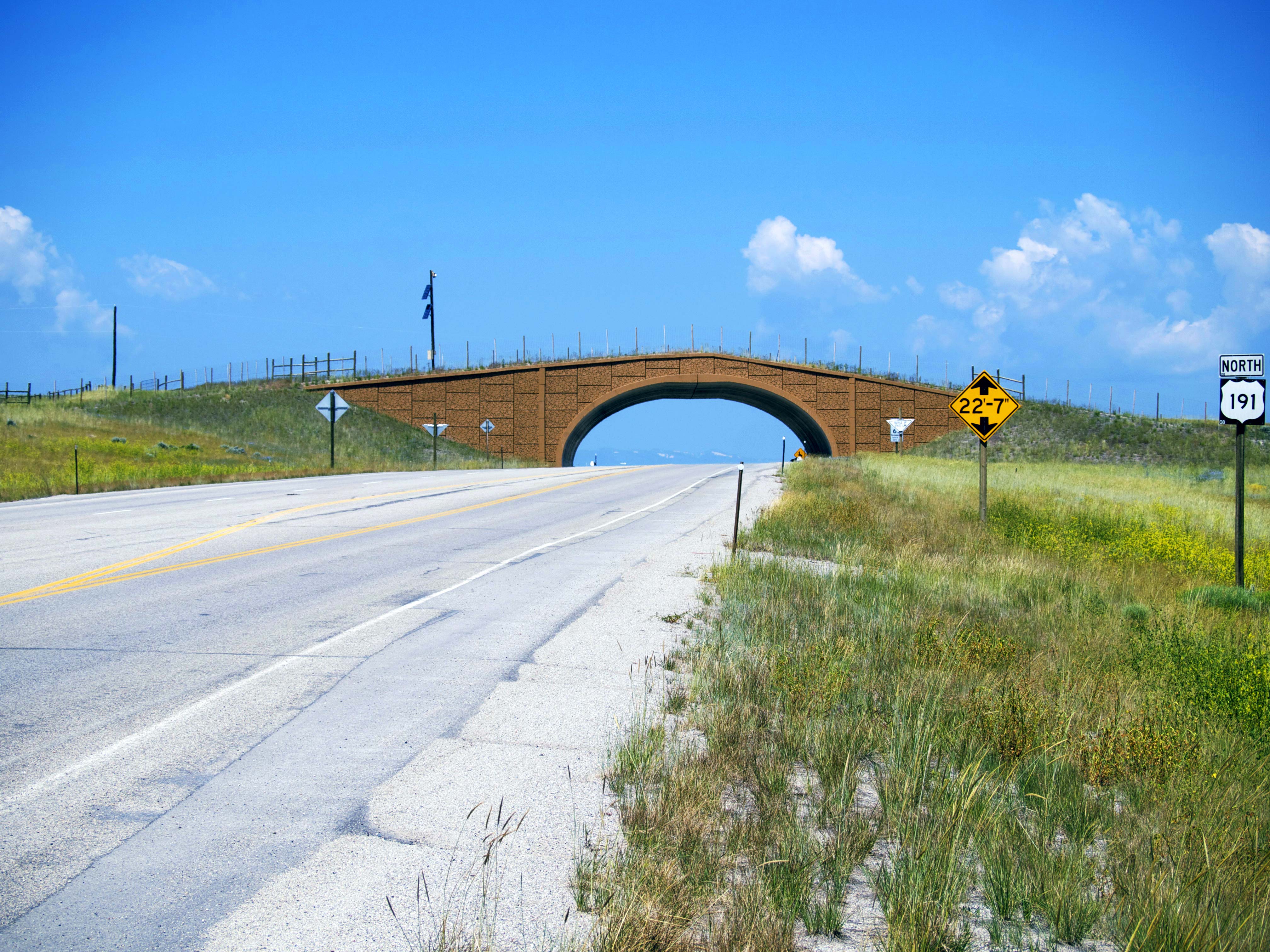
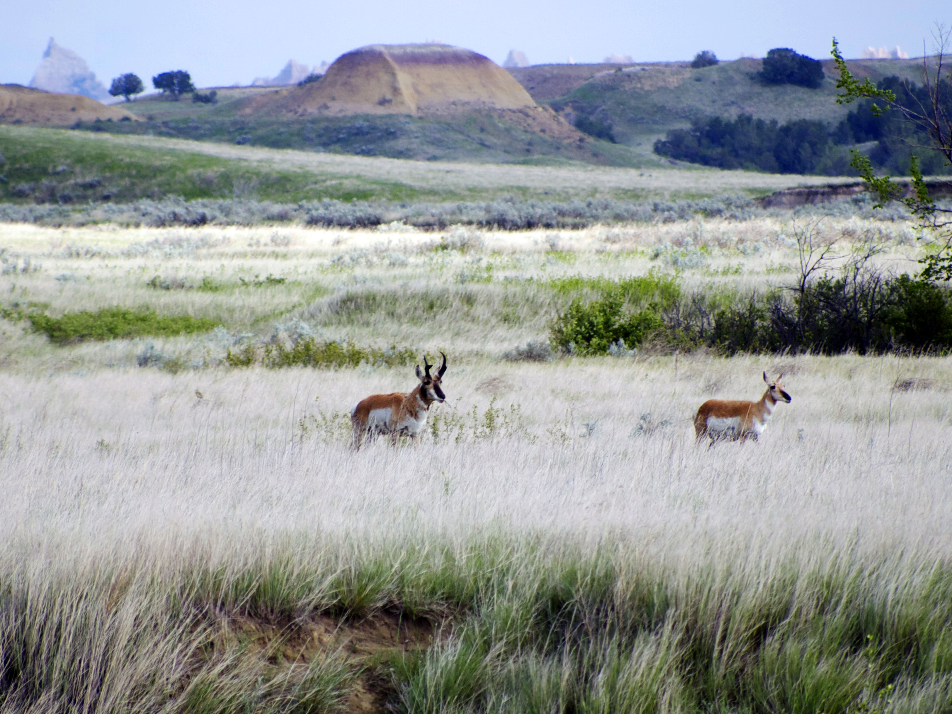
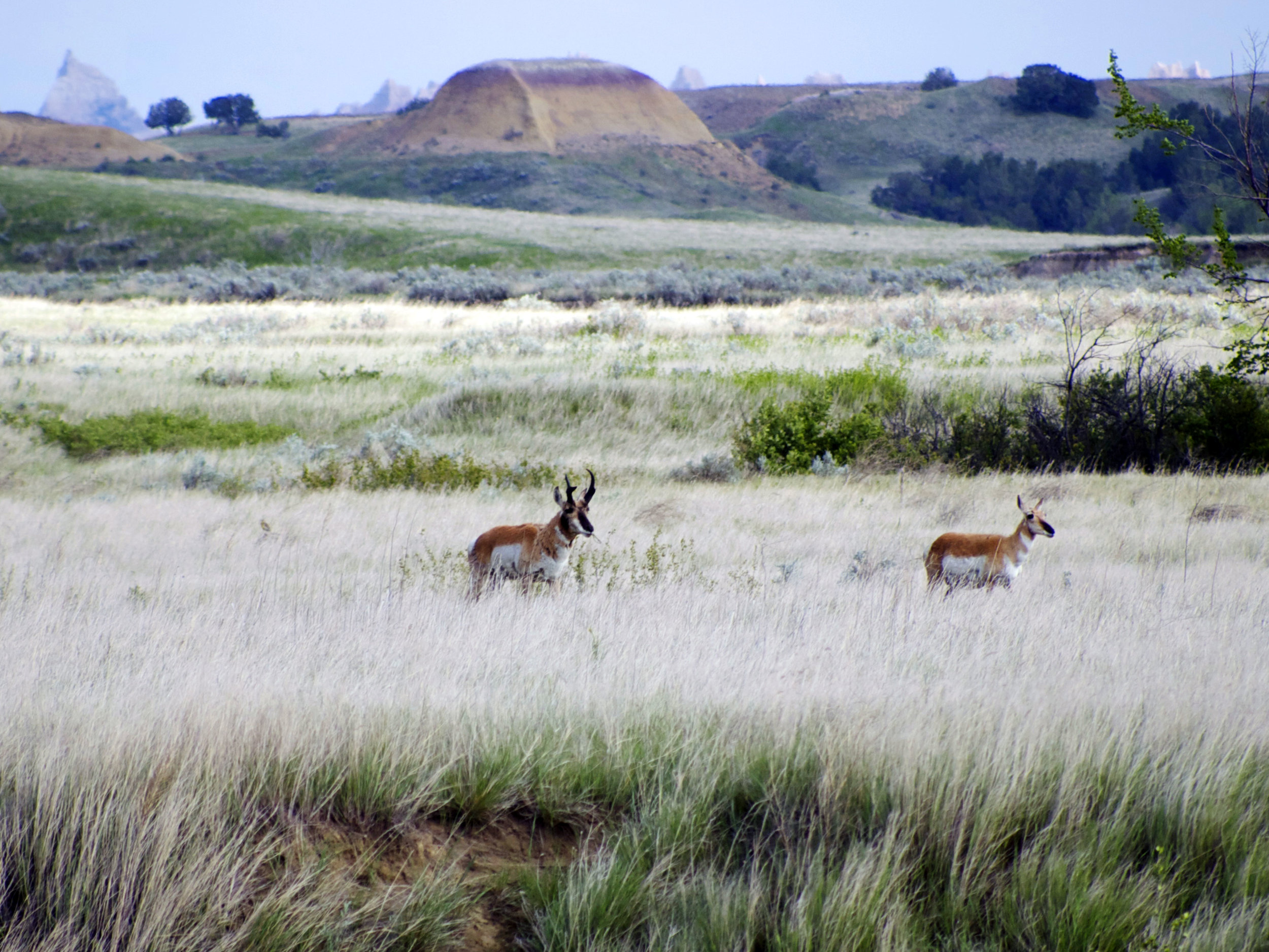
While in Wyoming we learned that the state hosts the most dramatic migration event south of the Arctic. Pronghorn here migrate over 200 miles between summer grounds around Grand Teton National Park and winter grounds in the Red Desert south of the Wind River Range. Unfortunately we have been accumulating obstacles for them across the landscape like roads, homesteads, petrochemical wells and cattle fencing. Shaped by the now-extinct North American Cheetah, these are the fastest animals on the continent. They evolved to move quickly and widely in the vast open spaces of the west. They did not evolve with the need to jump. With the thousands of miles of barbed wire stretched across the cattle lands this is a huge liability. They can easily become trapped on the wrong side or entangled when trying to cross ranch land. By collaborating with ranchers and other landowners there are some simple solutions like removing the bottom row of wire or replacing it with a barb-less one. These svelte animals are quite good at slipping underneath. We can also use this liability to help them get through our lethal tangle of highways safely. A number of well-designed “animal overpasses” have been created at crucial migration points in the region. Robust fencing has been installed to funnel Pronghorn to these allowing them to avoid crossing busy stretches of road.
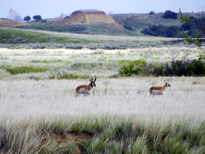
It’s hard to imagine an animal that better represents the challenges and rewards involved in sharing the landscape. Commonly referred to as the American or Pronghorn Antelope this species is uniquely American and literally in a class of it’s own. It is also a beautiful animal and respected by hunters, wildlife watchers and even ranchers. They seem to be asking so little from us in order to co-exist. In their tawny and white coats offset by the sage expanses they are visible. It as though, knowing they are the quickest thing out there, they are unafraid to be the emblem of the wild and free possibilities that are also uniquely American.
For more info on the Pronghorn migration and some wonderful photos take a look at this National Geographic article:


