
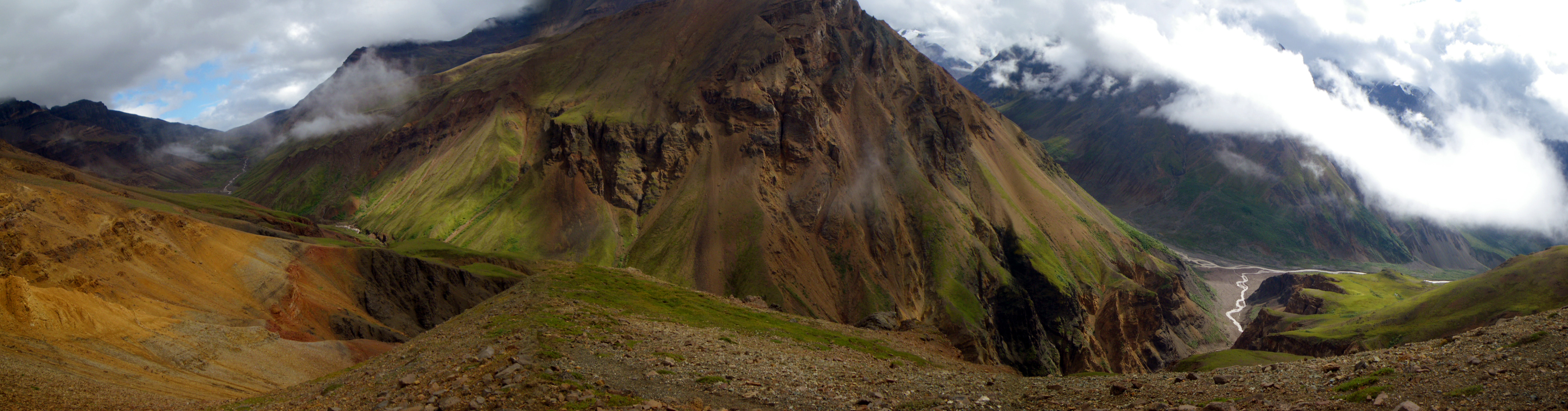
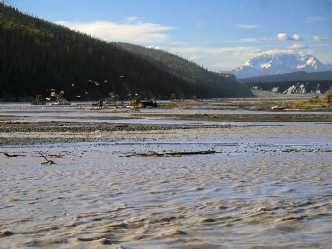
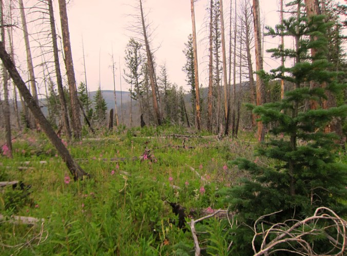
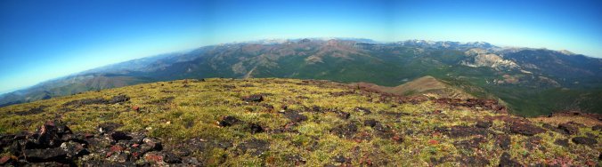
When our bush plane flew away we immediately felt awfully small in an awfully big place. All our vehicles and modern modes of transportation, even slow and diminutive houses with wheels, have abstracted the size of the world giving us the impression that it’s not the large place it really is. Standing in the heart of a truly immense wilderness that has no real trails to speak of, the silence settled in and we began to sense the true size of things. The land in the Wrangell Mountains is vast and open with tree line at this latitude a thousand feet below us. Our plateau is covered with moss, lichen, miniature shrubs and ground hugging berry bushes, just enough vegetation to soften the landscape and obscure some of its surprises. Towering around us are peaks capped in overhangs of permanent ice and the buttes of Wolverine Mountain slope down to our boots.

In Alaska nobody holds your hand. We are expected to know how to handle ourselves out here and find our way over the next six days to our exit point.
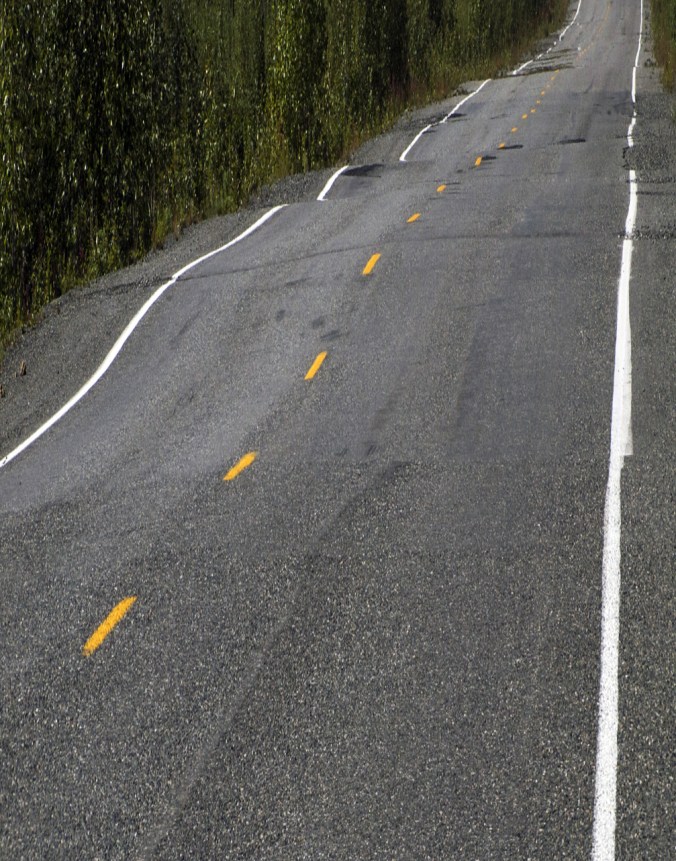
We have a route, many others have been here before, but we are utterly alone and will see no one until the very end of our walk. In my pack are the most detailed maps available, which in Alaska means that you can clearly see the major features, but that long gradual ridgeline we’re about to traverse has a half dozen uncharted 80ft deep gullies that we’ll just have to discover for ourselves. It’s a terrain one measures not in miles but in hours and vistas.
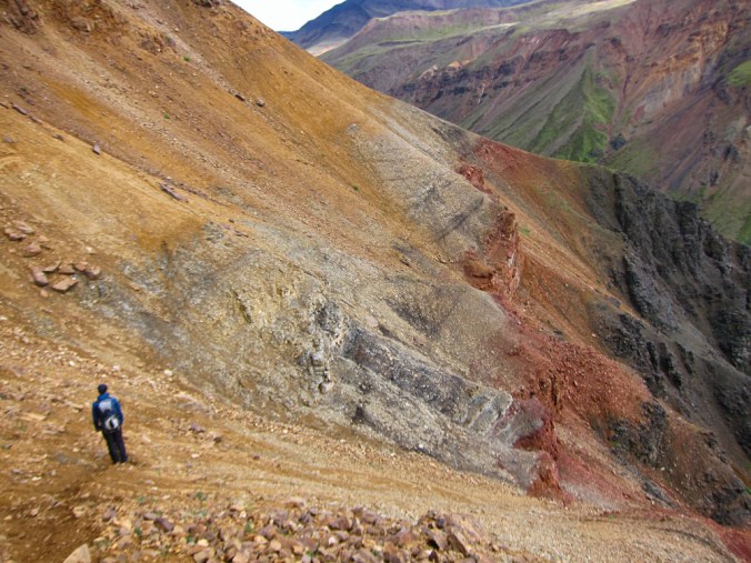
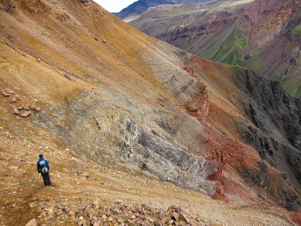
It is also a terrain that demands a lot of focused attention and this is one of the joys of wilderness travel. I can definitely appreciate a well-constructed trail that allows you walk into a wild place. However on a long march over an easy to follow path your mind can and will wander to any old thought. When you travel cross-country charting out your own route you need to be present. The peaks and ridges become your guideposts. The slopes, cliffs and rivers shape your route. Each boulder and willow thicket alters your course. The soil, stones and plants influence each footstep. You pay attention. You see the place.
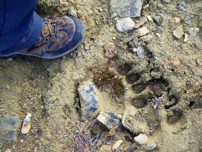
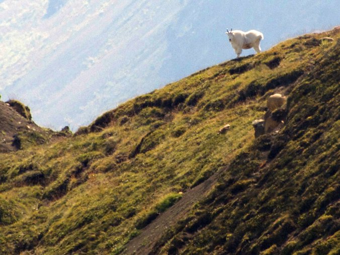
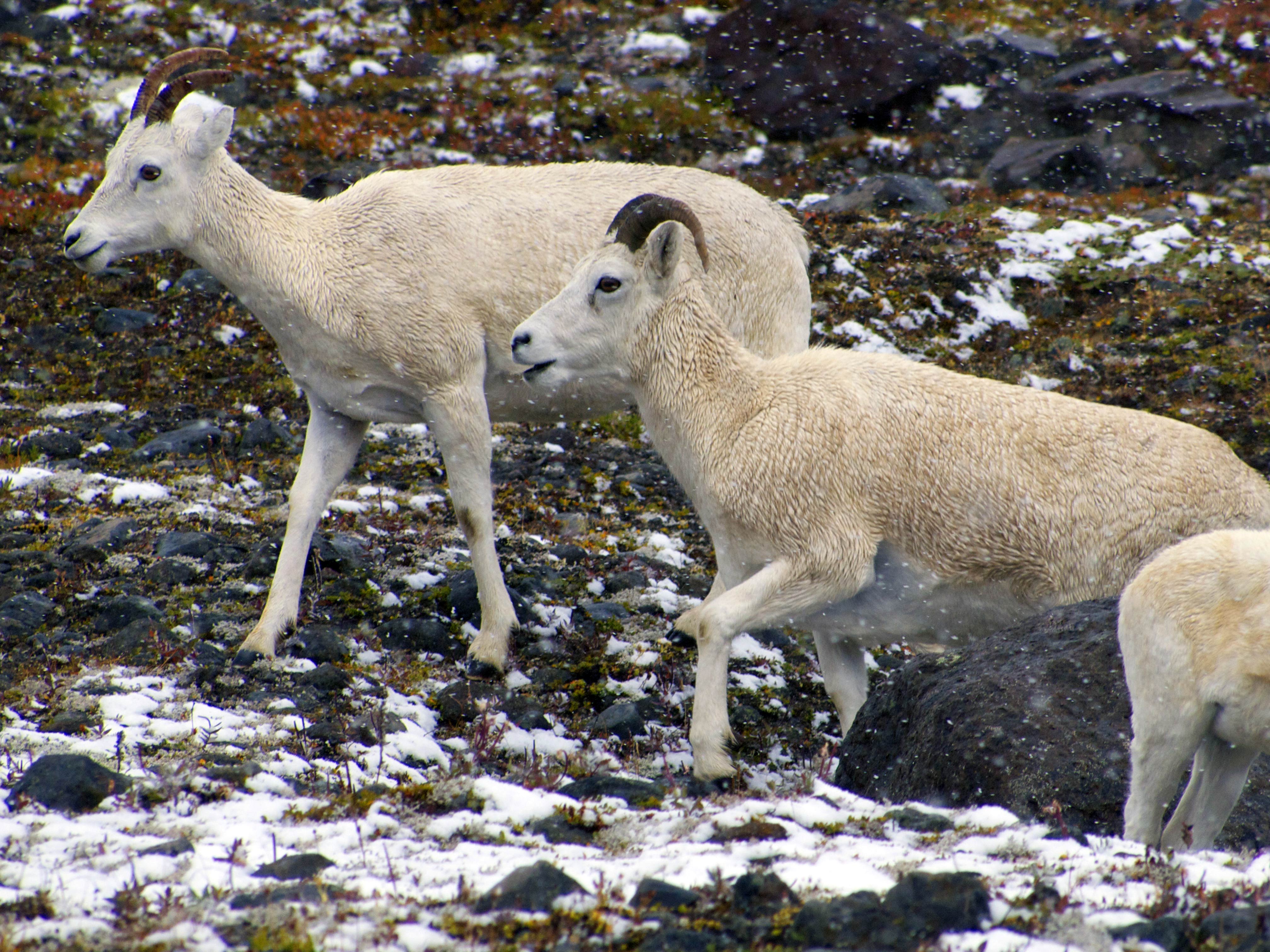
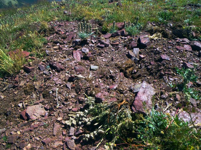
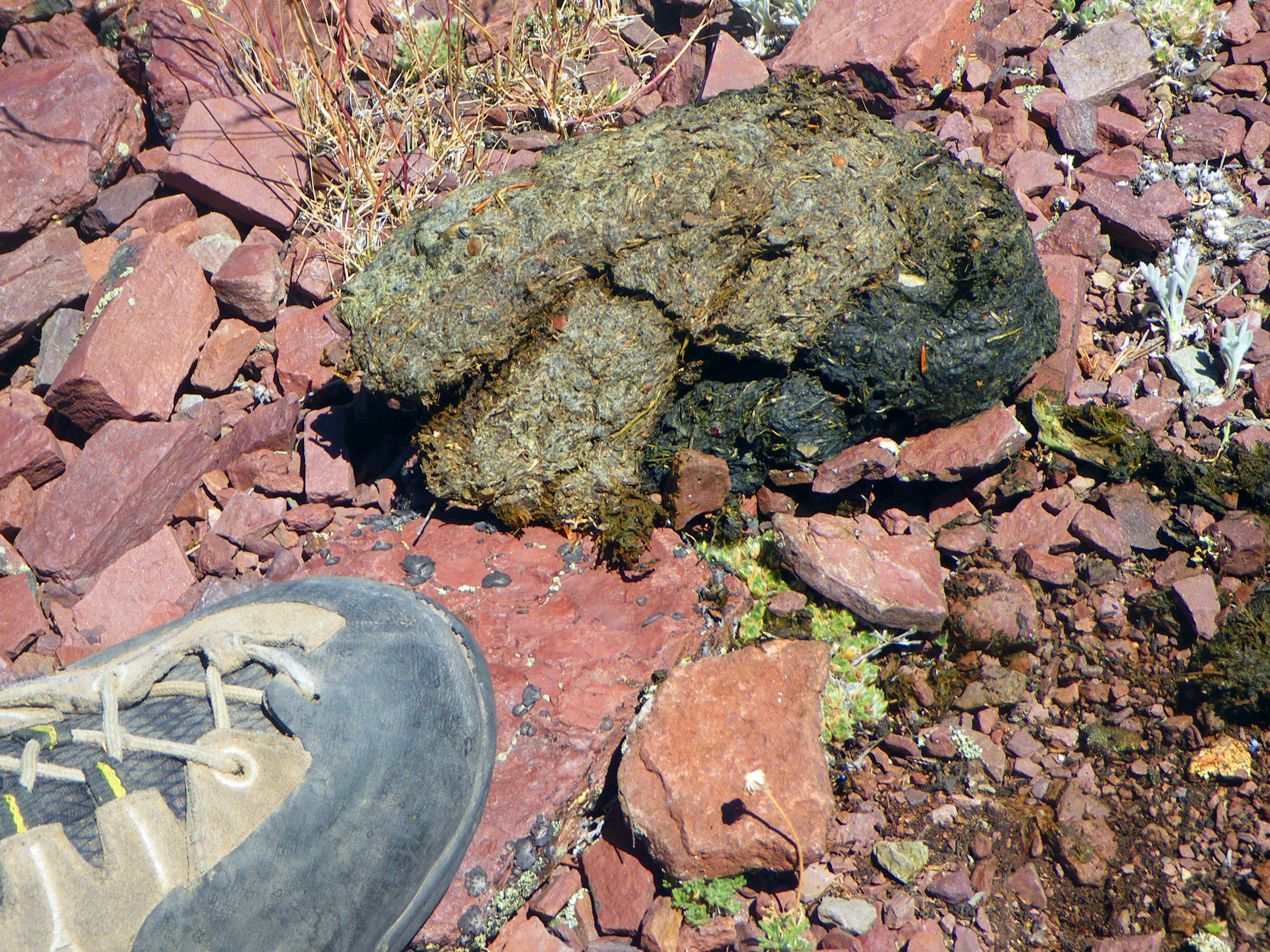
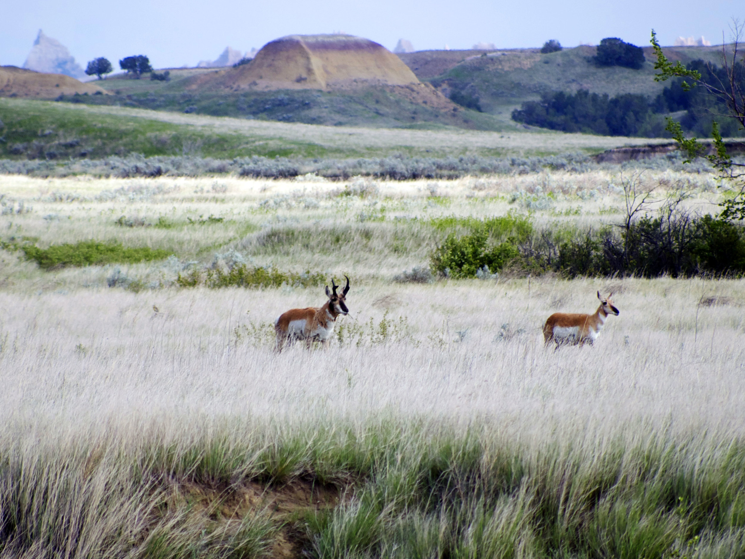
When you pay this kind of attention to the land it will show you things. On high cliffs are quiet creatures slowly moving and easily missed. Unconcerned Mountain Goats and Dall Sheep, white dots on tan ledges, look down with the confidence that few can stomach the climb. We hear the denial of a Ptarmigan mumbling “uh-uh” from the willows just a couple yards away, sitting still and indistinguishable from the local rock. Our first afternoon is spent repeatedly crossing the tracks of a Grizzly bear, confirming that this just might be the most sensible route over the pass. How old are these tracks? Old enough we decide, although we both had noticed plenty of berries to attract others. A big place is made up of small things. Even the rocks revealed their stories.

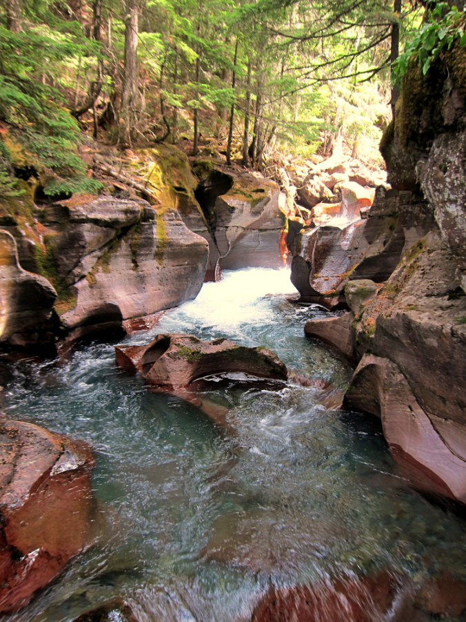
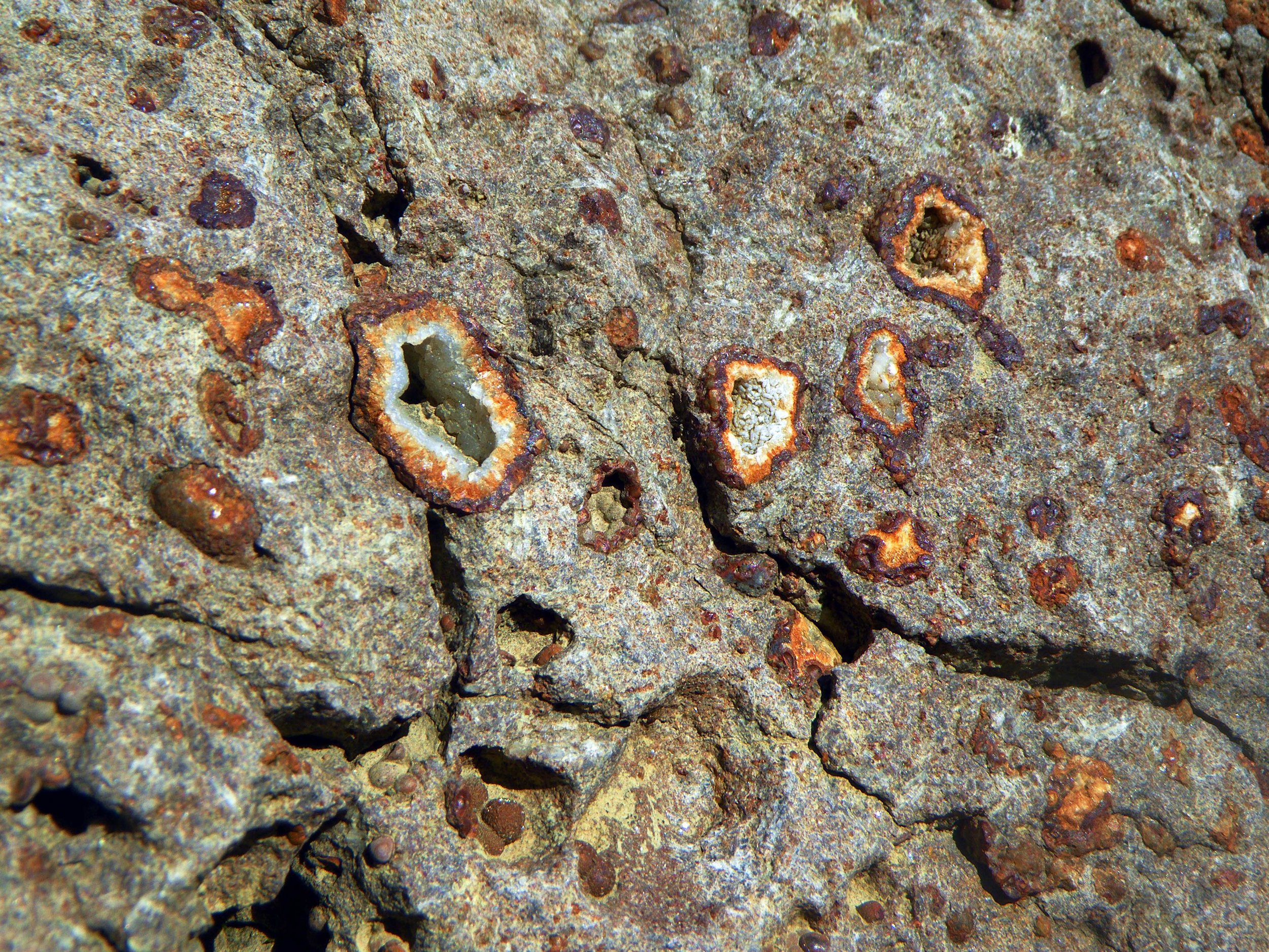
We stopped to examine fossils; sea life of some far distant time turned to stone and lifted way up here. The mountain flanks and valleys were filled with crystals encased in broken stones called geodes, clues to eons of subterranean activity.
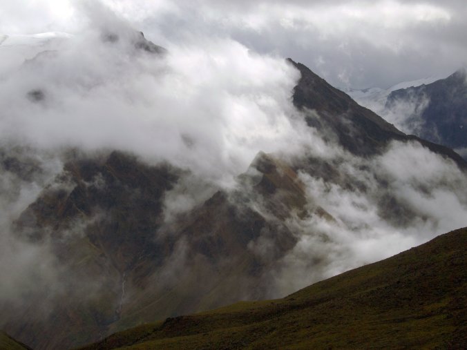
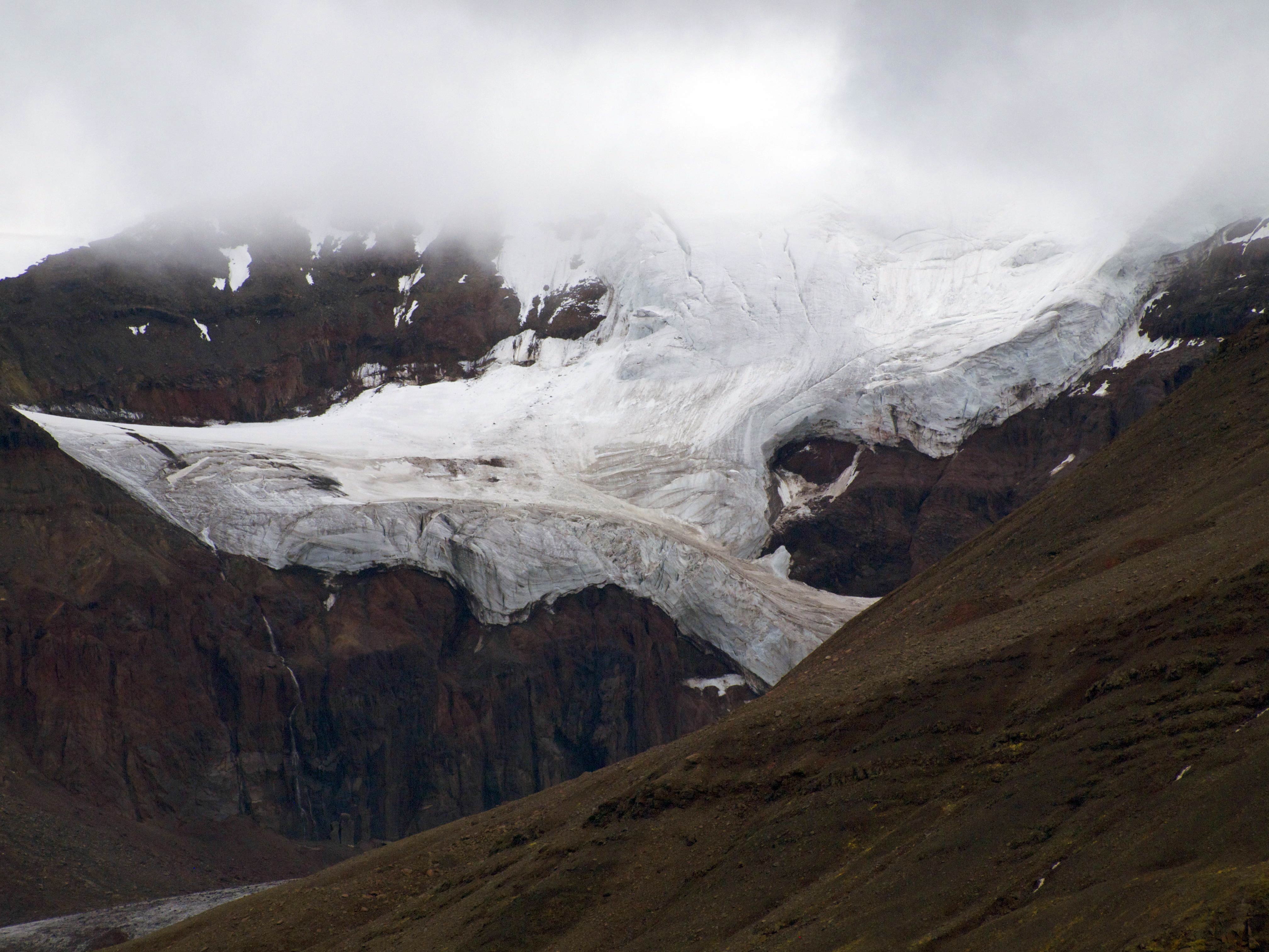
The big mountains create big weather and the long northern daylight makes the hours slip by. Swirls of mist wrap the arêtes and couloirs as we boulder hop across a mile wide rock glacier consuming an afternoon before we notice.
Weather and time and landscape intertwine, clouds and rainfall settling in on us then blowing away leaving new snow on the cliff faces above as we slog with sodden boots across a rain soaked hill side. The ground squishes, barely solid. Our boots squish, our woolen socks saturated.
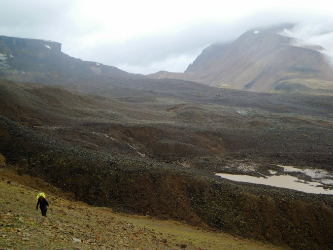
One afternoon we are grateful that the rain, fog and wind give pause as we navigate across a 60-degree slope of loose scree above a 1500 cliff.
Brazen sheep tracks here create confusing and dangerous alternative routes.
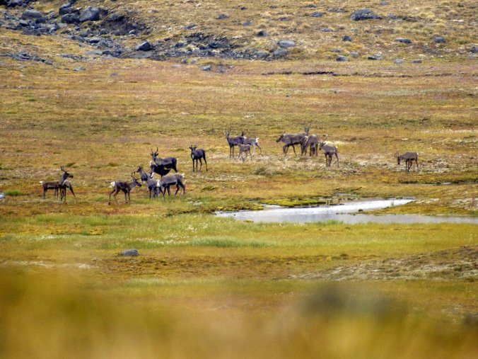
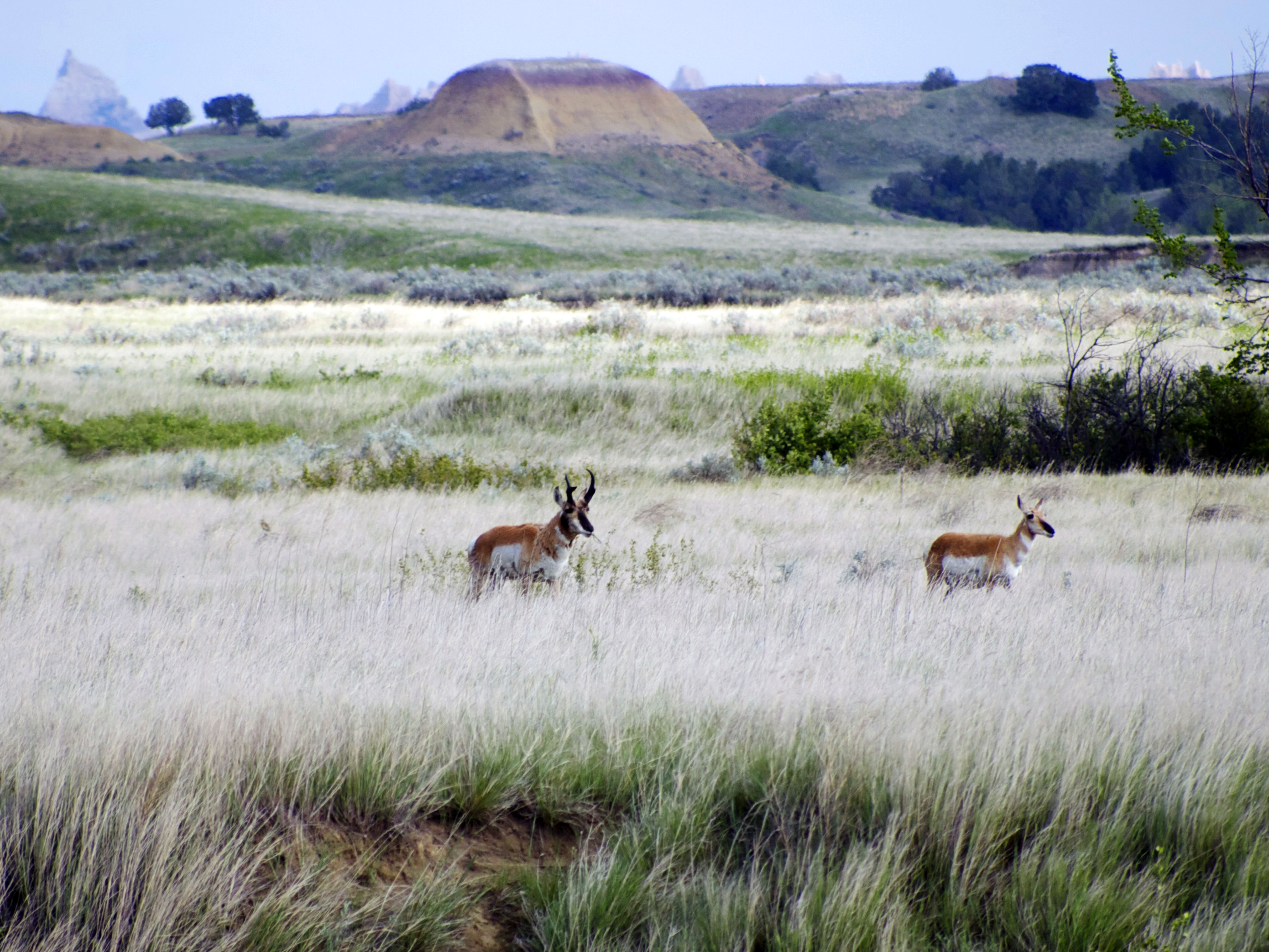
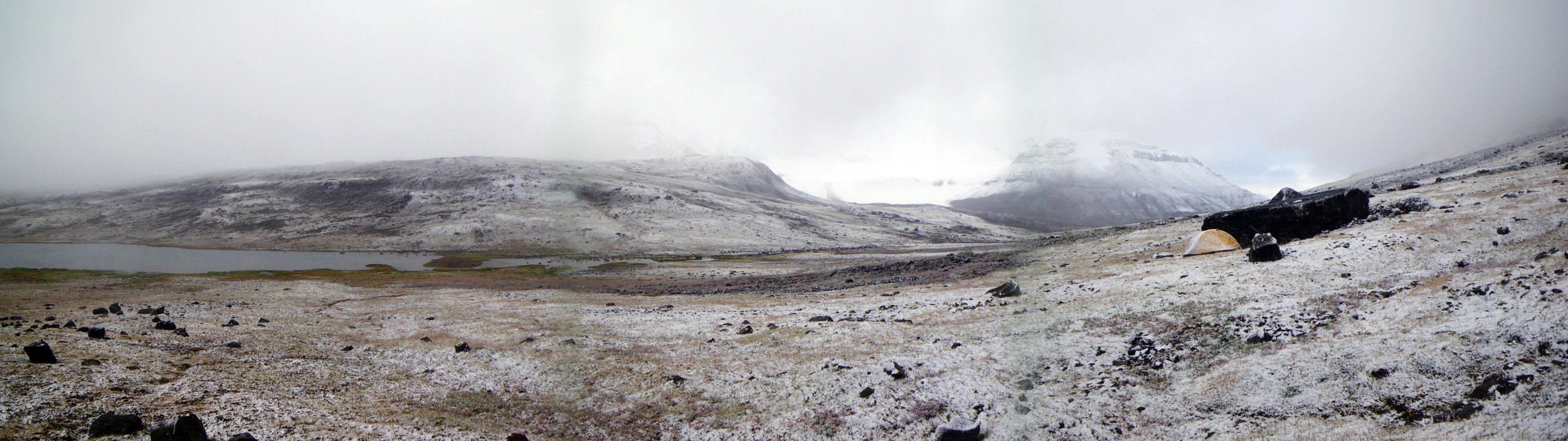
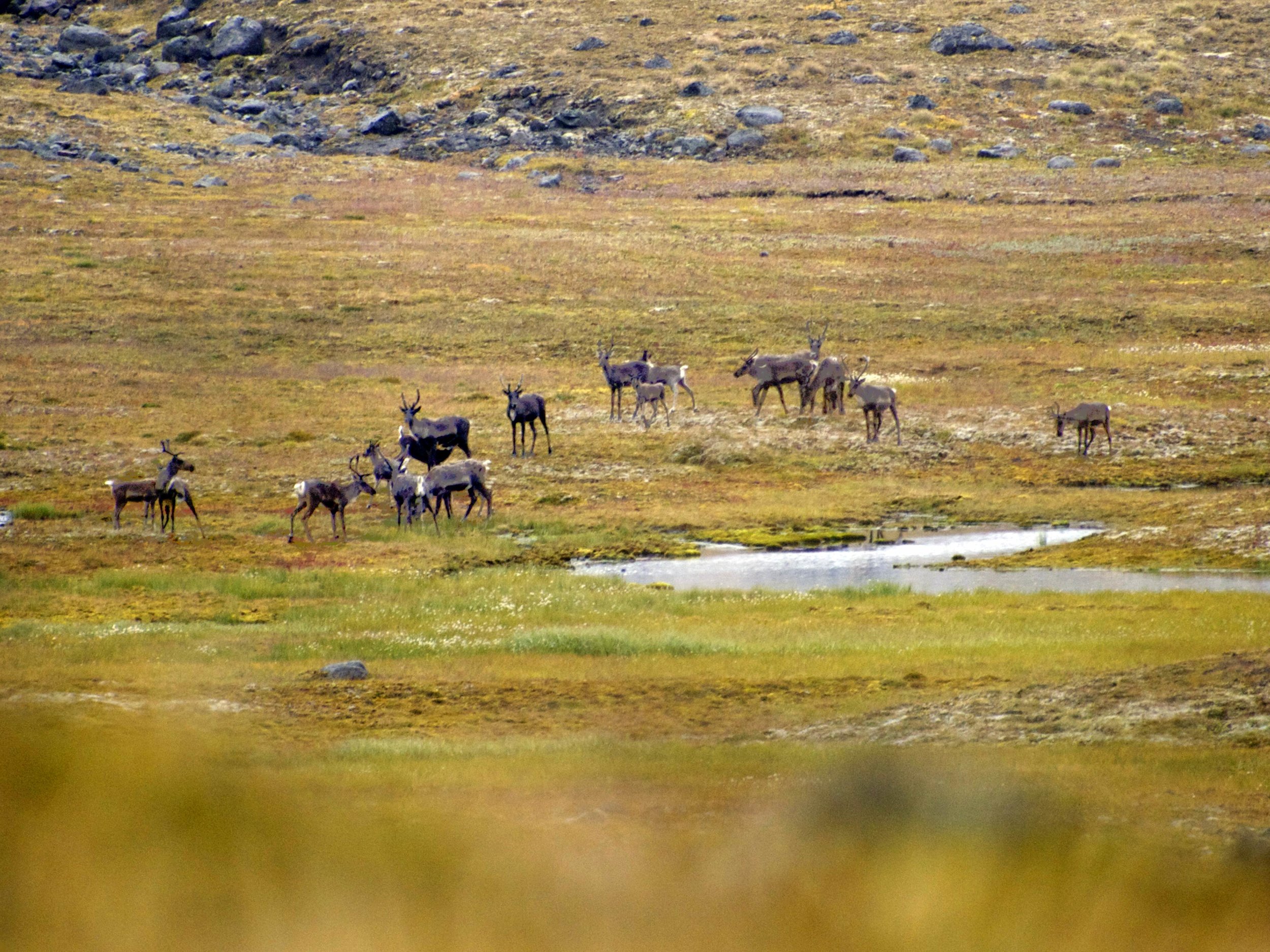
Four nights in we make camp at a beautiful cold lake just below a high pass, chill winds pouring on us from icefields on three sides above and the whistles of Hoary Marmots announcing our arrival. We bed down during a heavy drizzle as a band of twenty Caribou wander past, slowly and continuously moving unfazed by our presence. When we wake the next morning the drizzle has become a crust of ice and snow; the ground, the sky and the glaciers are hard to differentiate in the loose fog.

We are grateful of our modest preparation for the elements and some wet weather methods we’ve scrabbled together. The new aspect of the landscape is compelling and we are in no hurry, walking just quickly enough to keep warm. As we come to the crest of our last pass we can see through the snow flurries a long sun-dappled valley well below and a clear snow line melting upward to meet us as the storm breaks all around. The recent weather is pouring off the cliff tops in a myriad of evanescent waterfalls. The snow, the stunning land, the whole place has calmed us. At this moment we notice that a group of Dall Sheep is moving our way. They notice us but barely pause. They continue toward us, browsing the thin vegetation as they continue on their route towards the high tundra where we were just camped. In the long moment shared with them we can see their breath and the wetness in their hides, can hear the hoof steps and the chewing of plants. We are all present. We are all calmly paying attention.


